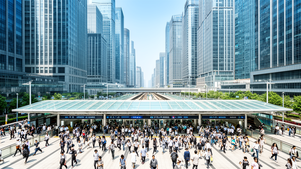
Rail transit station density serves as the primary anchor for employment scale across the Shanghai metropolitan area, according to a spatial analysis published in Frontiers of Urban and Rural Planning, Bioengineer.org reported.
The Bottom Line:
- 0.91 Correlation: The volume of rail transit stations serving an employment hub shows a near-perfect positive correlation with total employment capacity.
- Employment Concentration: Thirty-six designated employment centers occupy just 4.20% of Shanghai’s built-up territory but support 21.69% of municipal employment.
- Connectivity Gap: While central hubs like People’s Square show massive commuting intensity, peripheral nodes like Tangzhen face significant limitations due to a lack of direct rail passage.
The 0.91 Correlation Metric
The single most critical data point in the study is the 0.91 correlation coefficient between the number of rail transit stations serving an employment hub and the total employment capacity of that hub. This figure is the “canary in the coal mine” for urban planners; it suggests that without high-density station provisioning, the ability to scale labor agglomerations is mathematically constrained.
Researchers utilized a massive dataset to reach this conclusion, pairing a structural inventory of Shanghai’s rail network from December 2021 with a human mobility layer. This mobility data, sourced from anonymous location-based services records via a major digital mapping provider, captured 12,729,313 discrete commuting links.
By analyzing these movements at a cellular resolution of 100 by 100 meters, the study confirmed that transit topology is not just a convenience but a fundamental requirement for economic density.
Closeness centrality—a metric evaluating how accessible a station is within the wider transit grid—also showed a 0.75 correlation with total employment. This confirms that it is not merely the presence of a station, but its integration into the broader network that drives job growth.
Structural Shifts Between Puxi and Pudong
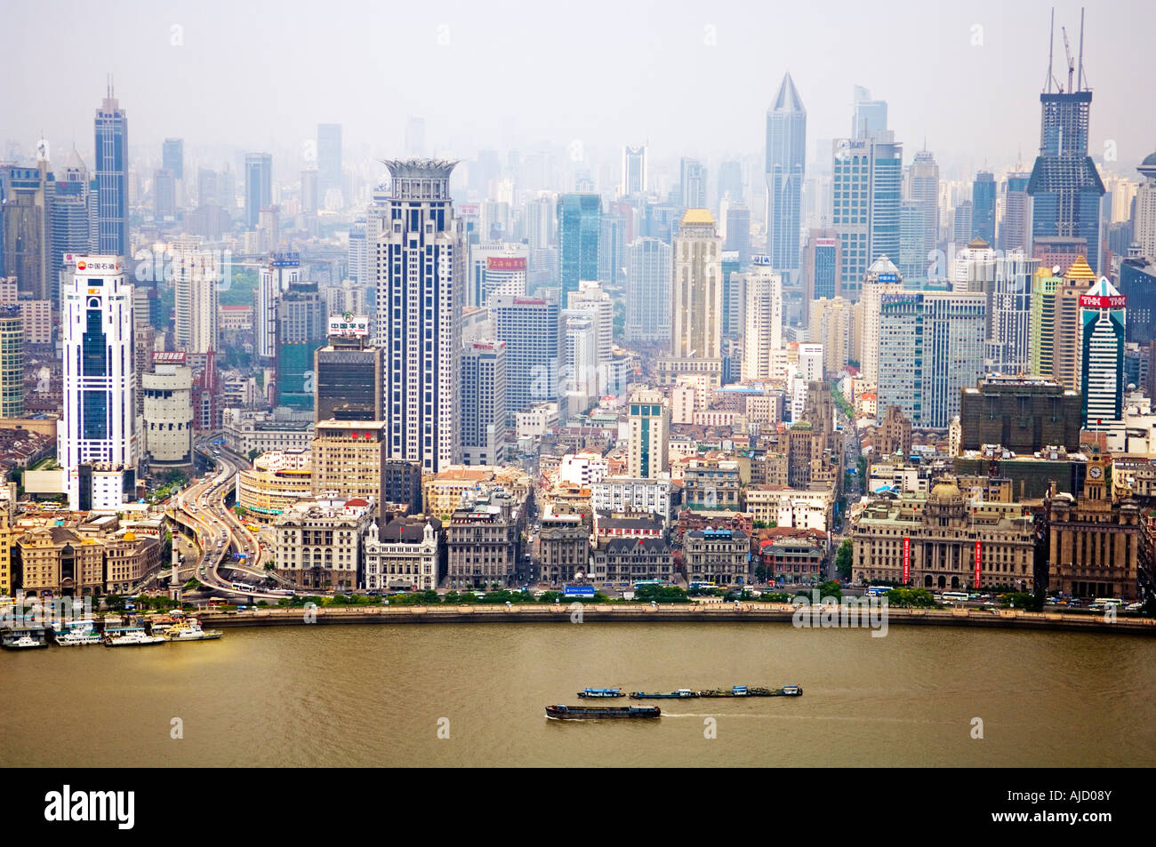
The data reveals that Shanghai's economic geography is transitioning. Historically, the city operated under a monocentric model focused on Puxi, the western bank of the Huangpu River. Today, the city has evolved into a dual-core orientation. While Puxi maintains dense, contiguous employment blocks within its inner ring, Pudong has captured outward spatial expansion since the opening reforms began in 1990.
The study identified 36 definitive employment centers, ranging from 23 hectares to 1,344 hectares. Xujiahui stands out as the largest center by physical area. These nodes are distributed concentrically around the city’s ring roads:
| Location Relative to Ring Road | Number of Centers | Total Area (sq km) |
|---|---|---|
| Inside Inner Ring | 18 | 79.34 |
| Outside Middle Ring | 10 | 9.21 |
The Connectivity Divergence
A stark disparity exists between employment density and commuting connection intensity. While density levels across centers showed a relatively narrow standard deviation of 0.12, the commuting connection intensity—measured via the coefficient of determination—exhibited a massive 42.5-fold divergence between People’s Square and Tangzhen.
This divergence highlights a growing risk for regional economic equilibrium. High-tier centers like Lujiazui and Xujiahui generate dense residential commuter clusters, whereas lower-tier centers such as Gongkang and Cao’an are confined to low-to-medium density residential distributions. For investors and developers, this suggests that real estate value and commercial viability in Shanghai remain heavily tethered to specific “transit trunks.”
Rail Proximity Drives Housing Prices
For the average worker or resident, these macro-scale findings translate directly into daily mobility costs and housing accessibility. As employment centers become more concentrated around specific rail lines—such as the high-density clusters found along Line 2—the demand for housing near those stations creates intense upward pressure on local real estate prices. Conversely, workers in peripheral zones like Tangzhen, which lacks direct rail passage, face a “mobility tax” in the form of longer commute times and higher transit costs, effectively limiting their access to the city’s highest-paying job markets.
Investors View Transit Gaps as High-Risk Assets
Institutional investors and urban developers are likely to view these findings as a roadmap for capital allocation. The data suggests that “isolated” employment nodes are high-risk assets unless accompanied by significant transit expansion. The study notes that current infrastructure remains predominantly single-mode and that existing express lines, such as the Jinshan branch and Line 16, are insufficient to meet the burgeoning demand for rapid urban-suburban transit.
The market sentiment among planners is shifting toward a need for a multi-modal approach. To mitigate the fragmentation seen in peripheral territories, the research suggests that future growth depends on integrating intercity rail, express corridors, and urban lines to bridge the gap between suburban industrial hubs and the central business districts.
The study concludes by noting that while betweenness centrality—the ability of a station to act as a routing conduit—is vital for passenger volume, it does not directly correlate with the scale of employment.
In short, a station might move people efficiently, but it won’t create a job hub unless it possesses the high station density and closeness centrality identified in the core districts. The next phase of Shanghai’s development will likely depend on whether the city can replicate the 0.91 correlation in its outer rings through aggressive multi-modal expansion.
Disclaimer: The information provided in this article is for educational and market analysis purposes only and does not constitute financial, investment, or legal advice. Always consult with a certified financial professional before making investment decisions.
Keep reading

Connecting North Denver Communities: National Western Center Bridge Construction Begins
Denver residents in Globeville and Elyria-Swansea will soon have a direct path to the National Western Center campus...

FAA Orders Nationwide Ground Stop Due to Air Traffic Control Issues
All flights across the United States, including those at Sacramento International Airport, were ordered to a ground stop...

Hendrix College Choir Announces 2026 Candlelight Carol Service
The Hendrix College Choir will perform its annual Candlelight Carol Service this December, continuing a holiday tradition that...

UAB’s Live HealthSmart Alabama Completes Neighborhood Revitalization Projects in Birmingham
Live HealthSmart Alabama celebrated the completion of several community revitalization projects in the Druid Hills, Fountain Heights, and...