
According to Yahoo News reported, forecasters state that a much colder and wetter winter storm is set to hit the Sierra Nevada on Tuesday night, which could bring 2 to 3 feet of snow and ridge gusts over 70 mph.
The probability of receiving at least 24 inches of snow above 5,000 feet is estimated between 90% and 100% from late Tuesday night through Thursday night, based on the National Weather Service in Sacramento’s latest forecast discussion. It gives a 50% to 90% chance of 3 feet.
Winter weather advisories accompany an initial, lighter batch of snow arriving in the Sierra from Sunday night into Monday. Winter storm warnings for the system that brought heavy snow and strong winds late last week have been replaced by those advisories.
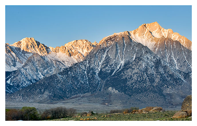
The NWS in Reno reports that Tuesday will feature a temporary lull, with morning temperatures dropping into the teens throughout the Sierra and hitting the 20s in western Nevada valleys. The next system moves in Tuesday night.
Writing that snow will collect above 4,000 feet and potentially at even lower elevations, the NWS in Sacramento said that travel across numerous mountain roads could be disrupted from early Wednesday through early Friday.
Initial forecasts from the Reno office indicate accumulations of 1 to 2 feet of fresh snow along the Sierra Crest alongside approximately 6 to 9 inches in the Tahoe Basin. Ridge gusts could top 70 mph by Wednesday morning.

Southward, the Hanford office anticipates a strong possibility of a foot of accumulation above 6,000 feet stretching from Yosemite National Park to Tulare County across the 24-hour period concluding Thursday morning, and once again by Friday morning.
Noted by the Reno office, snow levels might fall to between 4,500 and 5,000 feet by Thursday, potentially delivering the Reno-Carson City-Minden valleys their inaugural snowfall of the season. Friday highs are forecast to run 10 to 15 degrees below normal.
A short dry spell should follow. The active weather pattern is expected by the Hanford office to pause next weekend, keeping rain or snow out of the forecast at least for Saturday, Nov. 21.
“The storm door is open, and there are indications more storms will approach around the Thanksgiving holiday travel timeframe,” the Reno office wrote.
Furthermore, the Hanford office mentioned that recent outlooks from the Climate Prediction Center continue to indicate a slight probability bias toward above average precipitation across both the 6-10 day and 8-14 day windows.
Keep reading

Cape Wildlife Center Is Caring for a New Two-Headed Turtle – WJAR
Sharing a single shell and two sets of limbs, a rare two-headed diamondback terrapin that recently hatched in...

JuJu Watkins’ 25 Points Not Enough as No. 3 USC Falls to No. 1 South Carolina – LA Times
Tessa Johnson scored a career-high 28 points on Sunday, leading No. 1 South Carolina to an 89-85 victory...

Teams Announced for 2026 NCAA DII Football Championship
Thirty-two college football teams learned their postseason paths on Sunday as the NCAA Division II Football Committee announced...

Why Oklahoma Is Now Favored in Rescheduled Game Against Ole Miss
The Oklahoma Sooners will face No. 19 Ole Miss at noon CT on Sunday, after a rare nationwide...