
Tropical Storm Pena stays south of Hawaii as moisture brings showers
Tropical Storm Pena has developed south of the Hawaiian Islands, though forecasters expect the system to remain well south of the state. According to a report from KITV, a band of moisture associated with the storm is currently pushing west of the islands, triggering scattered trade wind showers tonight and into early Saturday.
While the storm itself is not expected to make landfall, the atmospheric shifts it is driving will dictate the weather patterns across the archipelago through the weekend. Residents can expect a transition in conditions as the initial moisture passes, leading to a drier period before another system approaches.
Increasing surf heights and wind patterns
The weekend will see a shift in wind and water conditions. Breezy trade winds are expected to return on Saturday, bringing fewer showers from Saturday afternoon through Sunday afternoon. During this window, conditions should remain mostly sunny, though passing trade wind showers may still occur, primarily over mountain and windward areas.
Ocean conditions are set to change significantly as a northwest swell builds from Saturday night into Sunday. This swell could potentially reach High Surf Advisory levels by Sunday, impacting several coastlines. The expected wave heights are distributed across the different shores as follows:
| Shore Orientation | Expected Wave Height |
|---|---|
| North-facing | 7–12 ft |
| East-facing | 6–8 ft |
| West-facing | 4–7 ft |
| South-facing | 3–5 ft |
Rainfall shifts for the Big Island and next week
The dry window expected on Saturday and Sunday is temporary. Another band of moisture is forecast to pass south of the islands from Sunday night into Monday, which may bring additional rainfall specifically to the Big Island.
Looking further ahead, the weather pattern remains active. A weak front is projected to bring additional showers to the state between next Thursday and Friday.
Keep reading

Michigan Tech Defeats Augustana in Thrilling Shootout Victory
Augustana University and Michigan Tech played to a 2-2 draw on November 7, 2026, in a contest that...
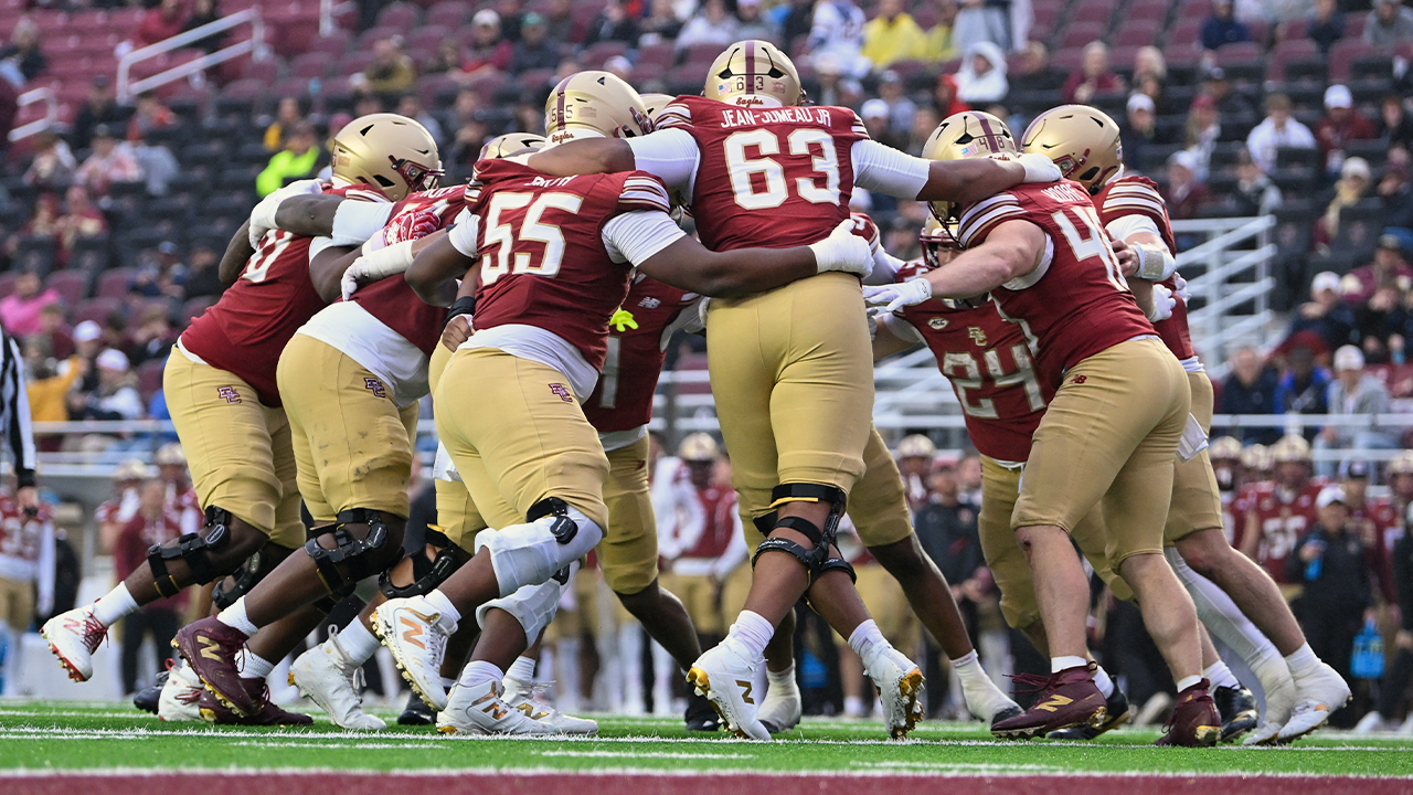
Florida State Wins After Boston College Executes Longest Yard Trick Play
Boston College executes cinematic trick play before falling to Florida State The Boston College Eagles utilized a highly...
LouCity Starts Prolific Front Three for USL Championship Playoff vs Miami FC
Louisville City will deploy its most productive attacking unit for Saturday’s Eastern Conference Semifinal as they host Miami...

Kansas City Current Defeat Angel City FC to Advance to NWSL Semifinals
Michelle Cooper penalty secures Kansas City Current victory in postseason opener The Kansas City Current advanced to the...