In 2014 and 2015, scientists collected 149 groundwater samples and four sediment cores from a sand-and-gravel aquifer beneath Joint Base Cape Cod, mapping a plume of forever chemicals that had been moving underground for decades.
The U.S. Geological Survey Toxic Substances Hydrology Program released the dataset in March 2017, revised weeks later to version 1.1, documenting per- and polyfluoroalkyl substances — PFAS — flowing from two distinct sources on the base: a fire-training area where aqueous film-forming foam was used, and wastewater-treatment infiltration beds that had received treated effluent since 1936.
The work arrived just as the U.S. Environmental Protection Agency issued its 2016 lifetime health advisories for PFOA and PFOS at 70 parts per trillion combined, giving regulators a benchmark to judge the concentrations USGS had measured in the Cape’s sole-source aquifer.
The USGS metadata states that the site has multiple sources of poly- and perfluoroalkyl substances (PFASs), including perfluorooctane sulfonate (PFOS) and perfluorooctanoate (PFOA), for which the U.S. Environmental Protection Agency has issued health advisories because of potential adverse human health effects, naming Larry B. Barber as the contact point for the release.

Researchers used high-performance liquid chromatography–tandem mass spectrometry to analyze a suite of PFAS compounds, not just the two regulated ones, capturing precursors and shorter-chain variants that standard compliance testing often misses. The sampling grid traced the plume from the fire-training area and the infiltration beds downgradient through the aquifer, revealing how geochemical conditions and groundwater flow paths control the transport and transformation of these persistent chemicals.
That same research site has been monitored for more than 40 years for the treated-wastewater plume, producing a longitudinal record — chemical data from 1978 to 2018 — that lets scientists separate the PFAS signature of firefighting foam from the complex mixture leaching from the infiltration beds.
Later publications built on the 2014–2015 dataset: a 2020 Environmental Science & Technology paper used oxidizable PFAS precursors and unexplained organofluorine to isolate the AFFF fingerprint in coastal watersheds, while a 2022 Environmental Science: Processes & Impacts study showed how surface-water/groundwater boundaries affect seasonal PFAS concentrations and precursor transformations near the plume’s discharge zones.
The data release lives at doi.org/10.5066/F7Z899KT, with the original metadata archived at USGS.580e746be4b0f497e794b882.xml.
What remains unresolved is how far the plume has migrated toward public-supply wells and private wells in the decades since the last sampling round, and whether the precursor compounds documented in the cores will continue to transform into terminal PFAAs that current treatment systems are designed to catch.
Worth a look
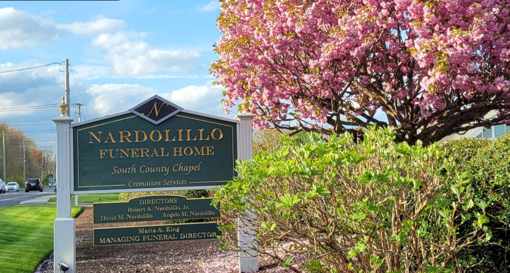
Two Nardolillo Funeral Homes, Two Founding Dates: Rhode Island’s Unreconciled Family Legacies
The Nardolillo name has anchored Rhode Island grief for more than a century, but the two family firms...

Sixers’ Tyrese Maxey Scratched Wednesday vs. Magic With Right Foot Soreness
Philadelphia 76ers guard Tyrese Maxey was scratched from Wednesday night's lineup against the Orlando Magic due to right...

Chaval Offers Custom Cakes, Digital Gift Cards, Budget Dining Tips
Co-owner Ilma Lopez, an award-winning pastry chef, makes custom cakes for pickup or to enjoy in the restaurant,...

Oklahoma Governor Stitt Pushes 90-Credit Degrees as RAND Counts 119 Three-Year Programs
Oklahoma Governor Stitt pushes 90-credit degrees as RAND counts 119 three-year programs. Five announced programs in 2024. One...