
Billings Weather Shifts Toward Unseasonable Warmth Through the Weekend
Residents across the Billings area are bracing for a taste of spring in the middle of November, as a series of weather systems move through the northern Rockies. While the calendar reads November 7, the region is bracing for temperatures that will land significantly higher than historical norms. According to data reported by KTVQ, the area is currently locked in a progressive weather pattern, though it remains notably dry.
A cold front that swept across Montana and Wyoming on Thursday provided only a brief interruption to this trend. By Friday, a second wave of energy began pushing over the Rockies, bringing with it gusty winds and a steady climb in temperatures. For those planning outdoor activities this weekend, the atmosphere will feel more like a mild spring afternoon than the onset of deep autumn.
The Saturday Forecast and Wind Patterns
Saturday morning will start with warmer-than-average temperatures, characterized by a mix of clear skies, cloud cover, and light breezes. As the day progresses, that second wave of energy will clear the Rockies, causing the winds to strengthen significantly. The northern half of Montana is expected to bear the brunt of these gusts.
Data from the National Weather Service typically highlights how these pressure gradients impact regional wind speeds during transitional months. For Saturday afternoon, most high temperatures across the area are forecasted to reach at least 10 degrees above the seasonal average, providing a rare warmth for the region before the next system arrives.
Sunday’s Pressure Trough and the Outlook for Monday
The warming trend is slated to continue through Sunday, driven by an approaching trough of low pressure and a new frontal system. This shift will bring an increase in cloud cover and even stronger wind gusts, pushing mercury levels higher than those seen on Saturday. For local businesses and commuters, the combination of high winds and unseasonable heat is the primary factor to watch.
Monday introduces the potential for a slight change in the narrative. A third storm system is expected to move over the region, carrying a minor chance for light rain and mountain snow showers across the southern half of Montana. However, the current outlook suggests that most residents will remain dry. Rather than precipitation, the most notable effect of this third system will be a cooling trend that settles in as the storm passes.
A Longer-Term Ridge of High Pressure
Looking beyond Monday, the atmospheric pattern is expected to shift once more. A larger ridge of high pressure is forecast to develop over the Rocky Mountains, which will likely anchor the region in a period of drier and warmer-than-average conditions for the remainder of the month. This persistent ridge often acts as a barrier to moisture, which could prolong the dry spell currently being experienced in the northern Rockies.
For those tracking climate trends in the state, the Montana Climate Office frequently notes that such high-pressure ridges are significant drivers of regional drought conditions and wildfire fuel moisture levels during late autumn. While the immediate forecast brings a pleasant weekend, the lack of significant precipitation continues to be a point of interest for agricultural and environmental observers throughout the region.
Keep reading

Sayed Mohassib Charged With Murder in Brooklyn Jogger Killing
Sayed Mohassib charged with murder in Brooklyn stabbing Sayed Mohassib, 27, has been arrested and charged with second-degree...
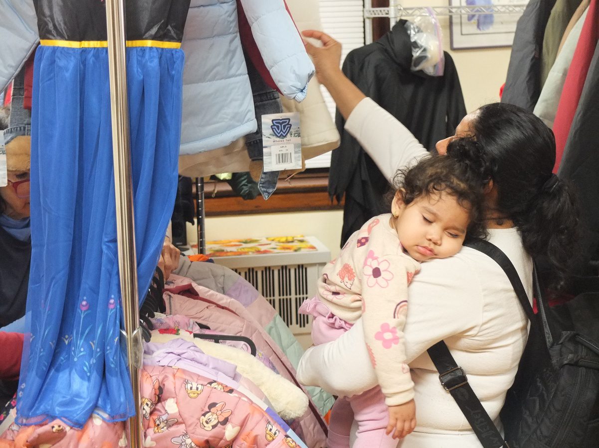
The Mercy House Distributes Over 600 Coats to New Jersey Families
As temperatures begin to drop across northern New Jersey, a significant community effort has provided a vital safeguard...

Manchester City Release Limited Edition Blossoms Charity Shirts
Manchester City and Blossoms Launch Charity Kit for City in the Community The cultural intersection of Manchester’s indie...

Nevada Governor-elect Aaron Ford targets cost of living in office
Governor-elect Aaron Ford targets cost of living in first days of term "It's been a two-year journey talking...