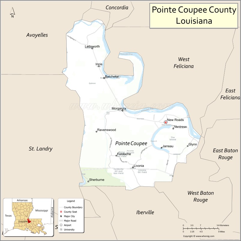
Wildfire activity detected in Pointe Coupee, Louisiana
Satellite monitoring systems have detected active fire incidents in Pointe Coupee, Louisiana, according to data provided by the Western Fire Chiefs Association (WFCA) Fire Map. The detection comes as part of a broader network of thermal sensors and AI-driven verification systems used to track wildfire perimeters and real-time heat signatures across the country.
The information released by the WFCA Fire Map relies on a multi-layered approach to environmental monitoring. While the current activity is centered in Louisiana, the mapping infrastructure integrates data from NASA’s Fire Information for Resource Management System (FIRMS), which utilizes VIIRS, MODIS, and Landsat satellite sensors to identify thermal anomalies. These detections are further processed by “Satellites on Fire” (SoF), an artificial intelligence system designed to verify satellite-detected heat signatures and reduce false positives.
The technology behind real-time fire tracking
The ability to track these incidents in near real-time is a result of fusing data from both polar-orbiting and geostationary satellites. Geostationary sensors, such as the GOES ABI, provide updates as frequently as every five minutes, allowing for a high-resolution view of how a fire might be spreading. This is essential for local emergency responders who rely on immediate data to manage containment and public safety.
For incidents requiring rapid response, the tracking system integrates several specific data streams:
- Official Incident Records: Use of IRWIN incident records and federal FEDS perimeters to track growth and containment status.
- Emergency Dispatch: Integration with PulsePoint to monitor live 911 calls for fires and medical emergencies.
- Visual Confirmation: Access to live fire cameras via networks like ALERTCalifornia and ALERTWest, alongside GOES GeoColor true-color imagery.
- Atmospheric Context: Integration of National Weather Service (NWS) and NOAA Storm Prediction Center (SPC) data, including Red Flag Warnings and fire-weather outlooks.
This data fusion allows for a comprehensive view of the fire environment, combining physical heat detection with the meteorological conditions—such as wind speed and humidity—that drive fire behavior. In regions like Pointe Coupee, where local land use and weather patterns significantly influence fire spread, these high-resolution updates are critical for assessing immediate risk.
Managing the risks of fire-weather conditions
The presence of active fires often coincides with specific atmospheric triggers. The National Weather Service and the Storm Prediction Center provide the necessary context by issuing fire-weather outlooks. These warnings are not merely observations of current heat but are predictive tools that signal when environmental conditions, such as low humidity and high winds, are likely to exacerbate existing ignitions or create new ones.
While the WFCA Fire Map provides a vital tool for situational awareness, the data regarding fire dispatch and specific locations remains approximate. This serves as a reminder that while satellite and AI-confirmed detections provide a rapid early warning, ground-level verification remains the standard for definitive incident management.
Related reading

No. 11 Louisville wins 84-70 over Chattanooga in Flory Bidunga debut
Flory Bidunga dominates debut as No. 11 Louisville holds off Chattanooga 84-70 Flory Bidunga scored 16 points in...

Adam Hamilton elected as first Democratic Kansas Senator in Nearly a Century
Kansas Elects Adam Hamilton as First Democratic Senator in Nearly a Century Kansans have broken a 94-year political...

Iowa Secretary of Agriculture Race: Water Quality and Regulation Take Center Stage
Water Quality Takes Center Stage in Iowa Agriculture Race Iowa’s water quality has become a defining flashpoint in...

Indianapolis Voters Approve $95 Million Tax Increase for Schools
Indianapolis Voters Approve Property Tax Referendum to Fund IPS and Charter Schools Voters in Indianapolis passed a property...