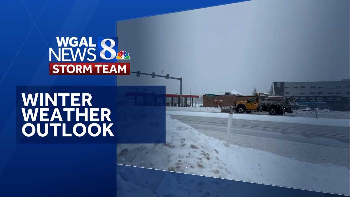
Pacific waters hit 2.5 to 3 degrees Celsius above normal this fall, pushing the current El Niño into rare “super” territory for just the sixth time since 1950, WGAL reported.
The threshold matters because only five other events have reached this intensity in the modern record — 1997–98 and 2015–16 being the most recent — and each rewrote winter weather across the United States, according to AccuWeather. NOAA’s Climate Prediction Center confirmed the milestone in its October update, noting that stronger events exert greater influence on the jet stream, storm tracks and temperature patterns continent-wide.
For the Susquehanna Valley, the practical stakes are heating bills, travel disruptions and the ever-present question of whether a blockbuster snowstorm materializes. Chief meteorologist Christine Ferreira told WGAL the winter should trend milder overall — seasonal temperatures averaging around 36 degrees versus the normal 33.3 — with total snowfall between 15 and 25 inches, well below the 30-inch average. Yet she stressed that a single coastal storm could flip the script, especially late January into February.
“While we are forecasting below-average snow, it only takes one storm to flip the script, especially for the East Coast cities,” AccuWeather Long-Range Expert Paul Pastelok said.
The mechanics are straightforward: warm water in the eastern Pacific weakens the trade winds, which shifts the subtropical jet stream northward and pushes the polar jet into Canada. That typically delivers wetter conditions across the Deep South and Mid-Atlantic while limiting prolonged Arctic outbreaks. The Climate Prediction Center’s outlook aligns, calling for above-average temperatures through mid-February and elevated precipitation chances.
Storm type matters more than the seasonal average. WGAL’s team breaks winter systems into three flavors: fast-moving clippers from western Canada that bring light snow and squalls; cutters that surge north from the Gulf and often produce rain or a messy mix in the valley; and coastal storms that hug the East Coast, putting the region on the cold side and generating the heaviest snowfalls.
The 30.2-inch blizzard of January 2016 was a coastal storm. During super El Niño winters, cutters and coastal storms tend to dominate.
Snowfall history, however, refuses to follow a clean script. MaryEllen Pann pointed out to WGAL that the valley recorded 28.3 inches in 1946 and 43.9 inches in 2013 — both El Niño years — while other strong events produced almost nothing.
Other teleconnections add volatility. Mike Susko explained that the Arctic Oscillation can override the El Niño baseline on weekly timescales. A negative-phase Arctic Oscillation, for instance, unlocks polar air and can turn a mild cutter into a high-impact ice event. The November pattern does not guarantee the February pattern.
Last winter ran 4.4 degrees colder than average yet delivered below-average snow, save for a 15.2-inch storm that left an inch on the ground for 24 straight days. Ferreira expects lower energy demand this year, with travel impacts and school disruptions similar if storms develop.
Her month-by-month outlook: December warm with one or two minor snow chances; January staying warm with two or three chances but sub-par accumulation; February near-normal temperatures, several opportunities, and the best shot at above-average snow; March near-normal but historically quiet for big storms in El Niño years.
The bottom line from both outlets: a warmer, wetter winter with periodic cold snaps and an elevated coastal-storm threat that could deliver rain, ice, snow or a chaotic mix. Astronomical winter begins at 3:50 p.m. EST on Dec. 21.
Richmond Opens First Rail-to-Trail Path, Linking Southside Neighborhoods With $9M ARPA Project
Nearly two decades after it was first imagined, Richmond cut the ribbon Thursday on its first official rail-to-trail...

Arkansas Unemployment Rate Falls to 3.8% as Payrolls Hit Record High
Arkansas' unemployment rate slipped to 3.8% in October while payrolls hit a fresh record, Talk Business & Politics...

Salve Grad Ben Lescault Runs Family Nursing Home in Rhode Island
"It's all I've ever known," Ben Lescault said. The 30-year-old took over his family's nursing home in Warren,...

U.S. Marshals Arrest Philadelphia Abduction Suspect Olunkayode Taiwo in Connecticut
U.S. Marshals arrested Olunkayode Taiwo in Newington, Connecticut, on Thursday night, ending a weeks-long search for the 28-year-old...