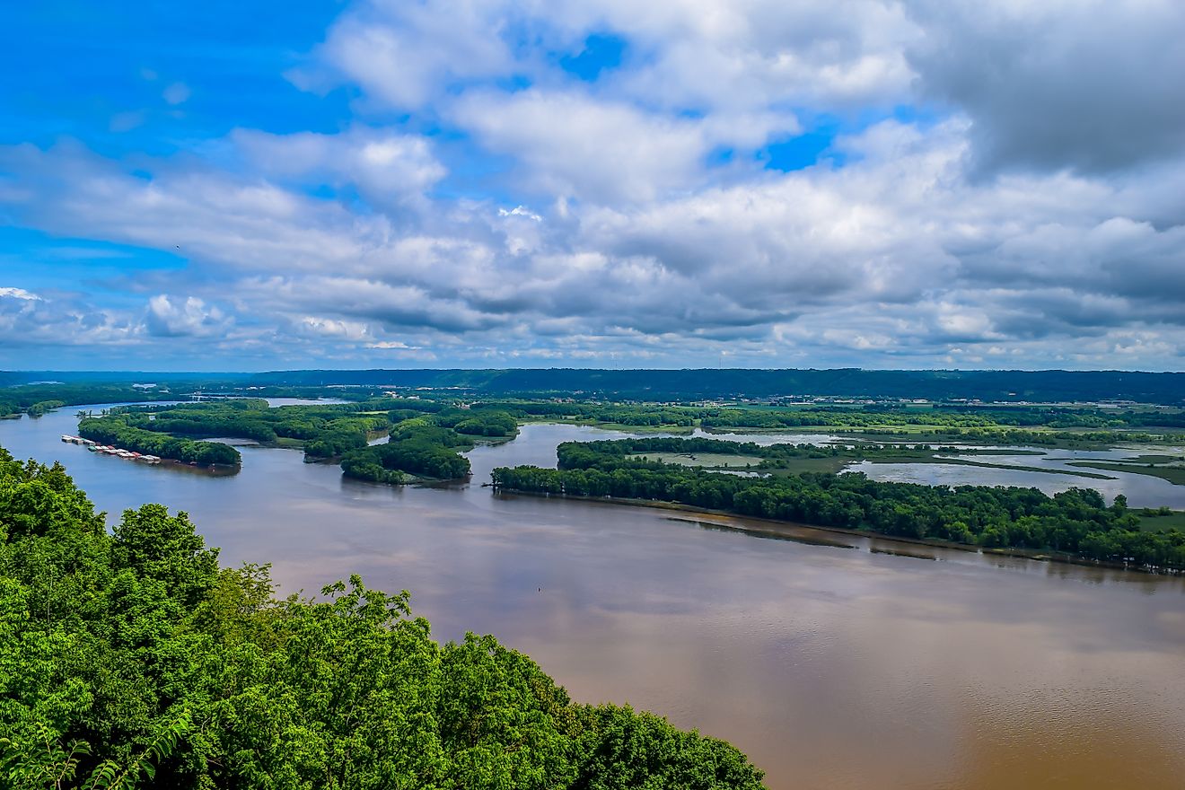
At the southern tip of Illinois, two of North America’s largest rivers collide in a way that splits the channel right down the middle, creating a stark visual seam where the green water of the Ohio River runs side by side with the muddy brown of the Mississippi.
World Atlas reported on October 31, 2026, that this sharp dividing line can stretch for miles below Cairo, Illinois, before the currents finally blend. For travelers, pilots, and satellite observers tracking regional hydrology, this two-tone phenomenon is a striking reminder of how vastly different watersheds feed into the same national drainage system.
The reasons behind each shade trace back hundreds of miles upstream. Before the Mississippi reaches Cairo, it absorbs the Missouri River near St. Louis, which dumps heavy loads of suspended sediment into an otherwise clearer channel. Runoff washes eroded soil directly into tributary streams, while fast-moving currents lift particulate matter right off the riverbed. That suspended silt alters how light is absorbed and scattered, giving the water its distinct brown or tan appearance.
How the Ohio Stays Green
The Ohio River tells an entirely different visual story. Its relatively clear water carries microscopic living organisms alongside mineral particles. Algae persist in the river throughout the year, and water rich in these organisms frequently takes on a vibrant green tint as chlorophyll absorbs red and blue light while reflecting green.
An ordinary greenish hue does not automatically indicate a dangerous algal bloom, though the system remains vulnerable. During periods of low flow, many rivers naturally become clearer and greener because less sediment stays suspended in the column, allowing light to penetrate deeper for aquatic plants.
Yet a greener Ohio is not immune to ecological stress. In 2015, a harmful cyanobacterial bloom spread across hundreds of miles of the river, prompting recreational advisories and triggering extra treatment measures at local drinking-water plants. Warm water, slow flows, and abundant nutrients create prime conditions for these blue-green algae to multiply.
When Heavy Rains Reverse the Landscape
The boundary between the two rivers is not set in stone. Weather patterns thousands of miles away can completely upend the dynamic, sometimes causing the colors to trade places.

On January 12, 2006, an astronaut aboard the International Space Station photographed an unusual sight: a brown Ohio River meeting a greener Mississippi at Cairo. NASA officials noted that very heavy rainfall over the Appalachians and the northeastern United States the previous December had heavily increased sediment loads across the entire Ohio basin.
Storm runoff does not need to fall locally to alter the view at the confluence. Because the Ohio and the upper Mississippi drain entirely different geographic regions, a regional wet spell can easily muddy one river while leaving the other relatively untouched.
Where the Sediment Goes
Farther downstream, the very sediment that turns the Mississippi an opaque brown performs vital geological work. These deposits travel toward coastal Louisiana, helping build and maintain the river’s delta and surrounding wetlands.
Dams and levees built upstream over the past century have drastically altered where this sediment travels and settles. Where restricted supplies prevent natural deposition, marshes lose their primary source of replacement material. Conversely, in systems like Atchafalaya, incoming sediment continues to build brand new coastal deltas.
Interstate commissions like ORSANCO actively track chlorophyll levels, water temperatures, and dissolved oxygen to monitor day-to-day water quality. Neither river’s surface color alone can establish whether toxins or other industrial pollutants are present, meaning visual contrast tells only half of the story.

Democrats Get Triple Boost in Key Senate Battlegrounds Days Before Midterms – Newsweek
Late Battleground Shifts in Maine, Michigan, and Texas Control of the United States Senate hangs in a precarious...

Halloween brings increased traffic fatalities, prompting safety concerns for trick-or-treaters
As families across the country stepped out for Halloween celebrations, state highway data and first responders highlighted a...
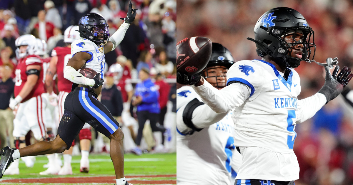
Ty Bryant, Jordan Castell are giving Kentucky ‘uncommon’ play and production at safety
Kentucky's Safety Tandem Delivers Uncommon Play and Production Ty Bryant and Jordan Castell entered this college football season...
Living Learning and Honors Community Applications | Housing – The University of Iowa
The housing application portal for new and transfer students at the University of Iowa officially opens on January...