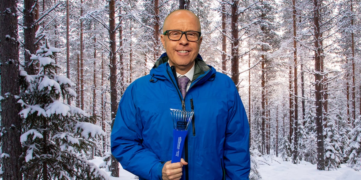
Kentucky is staring down a third brutal winter, and the state’s most trusted forecaster says the pattern is locking in for a rare trifecta of cold and snow.
First Alert Chief Meteorologist Chris Bailey told WKYT that a record-strength El Niño in the Pacific — typically a signal for milder conditions across the Ohio Valley — is being overridden by stubborn blocking high pressure over Canada, opening the door for frequent Arctic intrusions and an active southern storm track.
“We are in for another very active winter here in Kentucky,” Bailey said. “After back to back harsh winters, it looks like we will complete the trifecta with 3 in a row!”
The setup defies the textbook Super El Niño playbook. Bailey said this autumn has been the warmest on record across the commonwealth, while past super El Niño autumns were much colder. The difference, he explained, is the expected persistence of high-latitude blocking — a pattern that displaces the polar jet stream southward and allows cold air to spill into the South just as moisture-rich systems ride the subtropical jet.
“I expect more blocking showing up across Canada this year than in a normal Super El Niño,” Bailey told WKYT. “That opens the door for below normal temps from our region into the south. This will combine with a very active southern storm track, creating the opportunities for frequent snowfalls in our region.”
The forecast projects a front-loaded winter with the heaviest snow arriving in January. December opens the season running 1 to 2 degrees below normal with 4 to 8 inches of snow, complicating holiday travel.
January turns the screws: 6 to 12 inches of snowfall are expected even as temperatures nudge roughly 1 degree above normal — a classic signal for wet, heavy snow events. February stays cold at 1 to 3 degrees below normal with another 4 to 8 inches possible. March finally relents, returning to near-normal temperatures and just 1 to 3 inches of snow.
| Month | Temperature Departure | Snowfall Range |
|---|---|---|
| December | 1–2°F below normal | 4–8 inches |
| January | ~1°F above normal | 6–12 inches |
| February | 1–3°F below normal | 4–8 inches |
| March | Near normal | 1–3 inches |
Bailey’s bold prediction centers on a single, high-impact system: “My bold prediction is based on one of these storm systems really cranking up, bringing everything from severe weather to heavy snow across Kentucky.” That scenario — thunderstorms and heavy snow occurring simultaneously — poses acute risks for travel, power infrastructure, and outdoor workers.
WKYT-TV, the station Bailey represents, has served Lexington since signing on as WKXP-TV in 1957. It became a CBS affiliate the following year and returned to the network in 1967 after a six-year stint with ABC, eventually becoming the market’s dominant news outlet. Gray Media acquired WKYT and its eastern Kentucky satellite WYMT-TV in 1993 after the state seized the assets of Kentucky Central Life Insurance Company.
“This winter won’t be a quiet one,” Bailey said, “and First Alert will be first to warn you when storms approach.”
Keep reading

Beshear Defends DGA Texas Spending Amid 2028 Contender Talk
Kentucky Gov. Andy Beshear defended his decision not to invest more heavily in Gina Hinojosa’s successful race for...

Eleven Medicaid providers were indicted on fraud charges in Franklin County Common Pleas Court
Eleven Medicaid providers were indicted on fraud charges in Franklin County Common Pleas Court, including two from the...
Colorado Submits Bid for U.S. Space Academy at Banning Lewis Ranch
Colorado submitted its formal bid Monday to host the new United States Space Academy, pitching a 508-acre site...

Lincoln County Man Arrested in Connection With Death of Estranged Wife
Lincoln County authorities arrested Jason McDonald, 45, early Wednesday in connection with the death of his estranged wife,...