
Boston is tracking toward an unseasonably warm start to November, with daytime temperatures forecasted to approach record highs in the low to mid-70s and a persistent stretch of dry weather ahead, according to the National Weather Service.
For residents, commuters, and local businesses across the region, this means a sudden detour from typical late-fall chills into summer-adjacent warmth. Daytime highs are projected to hover around the low to mid-70s through midweek, challenging historical records set between 71 and 73 degrees in early November.
“We’re looking at temperatures in the low 70s, actually, through a good portion of the week,” said NWS meteorologist Emily McMinn. “At least Wednesday at this point, possibly even Thursday. So we could be seeing a couple of ties or possibly record-breaking highs here as we head into Tuesday and Wednesday. It’s really going to be quite warm for fall.”
A Dry Work Week Giving Way to Mid-Week Gusts
The warming trend sets in immediately. Monday and Tuesday feature mostly sunny skies with afternoon highs pushing into the low 70s. Monday brings strong breezes with gusts reaching up to 20 mph, according to the weather service.
By Wednesday, skies remain sunny as temperatures peak near the mid-70s. Overnight lows, which recently dipped into the upper 20s and low 30s, will follow suit. McMinn noted that nighttime temperatures will climb into the 40s and potentially touch the 50s by Wednesday night into Thursday.
Shifting Conditions and Rain Probabilities Heading into the Weekend
The unseasonable heat begins to break on Thursday. Forecasts call for partly sunny skies with high temperatures easing back down to around 70 degrees. Cloud cover increases toward Thursday night, introducing a chance of rain.

“The next chance of rain isn’t until Thursday night into Friday, and kind of lingering into the weekend,” McMinn said. “But right now, there’s a lot of uncertainty on just how widespread those showers could be, and how long they might hang around. That’s going to be the primary focus of the forecast as we get started on this week.”
By Friday and Saturday, preliminary forecasts show daytime highs dropping back into the 60s under mostly cloudy skies as rain chances persist across the area.
Worth a look

Springfield, Missouri voting guide for Nov. 3: What’s on the ballot
Springfield, Missouri voters head to the polls on Tuesday, November 3, 2026, for a general election featuring competitive...

Kevin O’Connell’s Classy Gesture After Frightening Injury to Lions’ Jack Campbell
Vikings Head Coach Kevin O'Connell Opens Postgame Presser With Thoughts on Jack Campbell's Injury The Detroit Lions secured...

No. 1 Michigan avoids sweep, takes down Ohio State, 5-4, in overtime
Michigan Avoids Ohio State Sweep Behind Hage's Five-Point Night in 5-4 Overtime Thriller Facing the uncomfortable reality of...
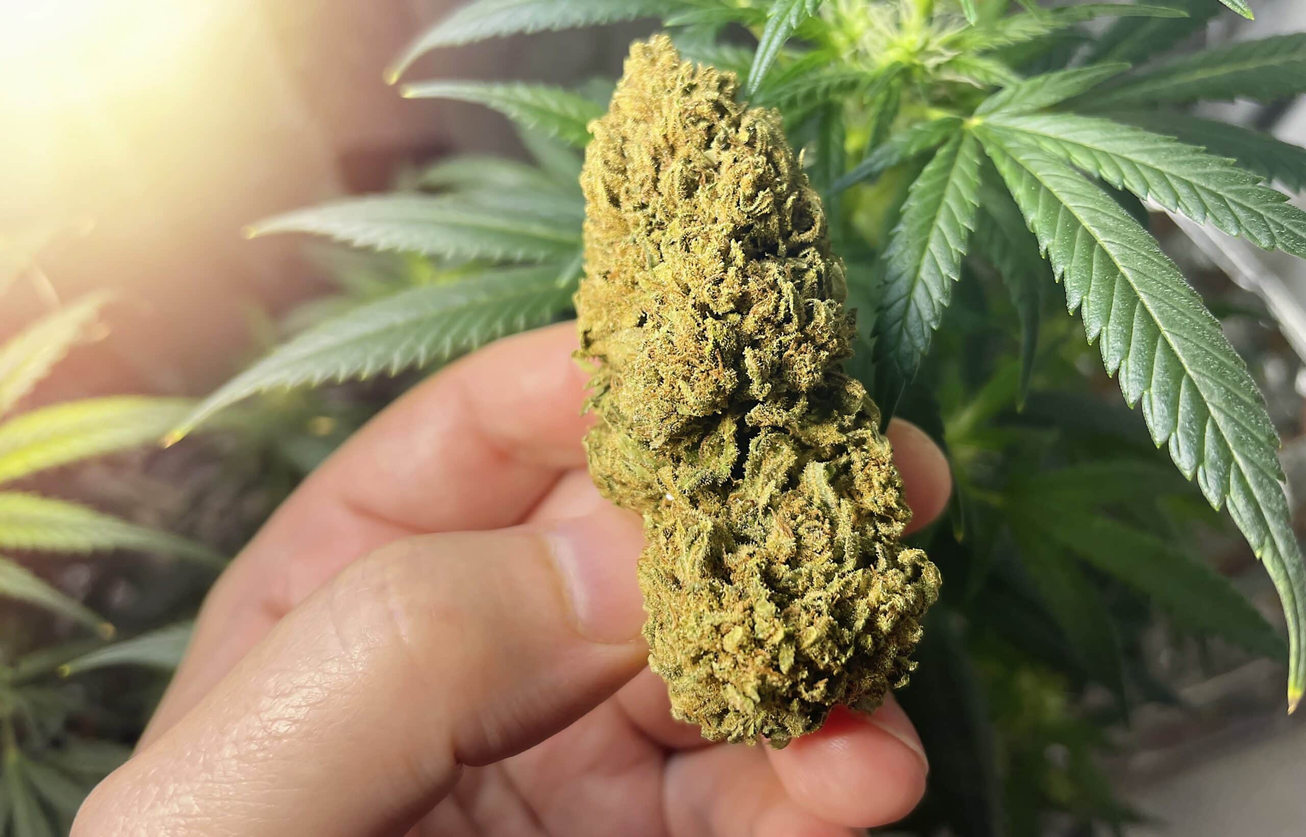
Massachusetts Ballot Question 8 seeks to reverse marijuana legalization
Massachusetts Voters Face Question 8 and a Rare Push to Reverse Marijuana Legalization Ten years after Massachusetts voters...