
El Nino Directs a Warmer, Wetter Winter to Maine for 2026–2027
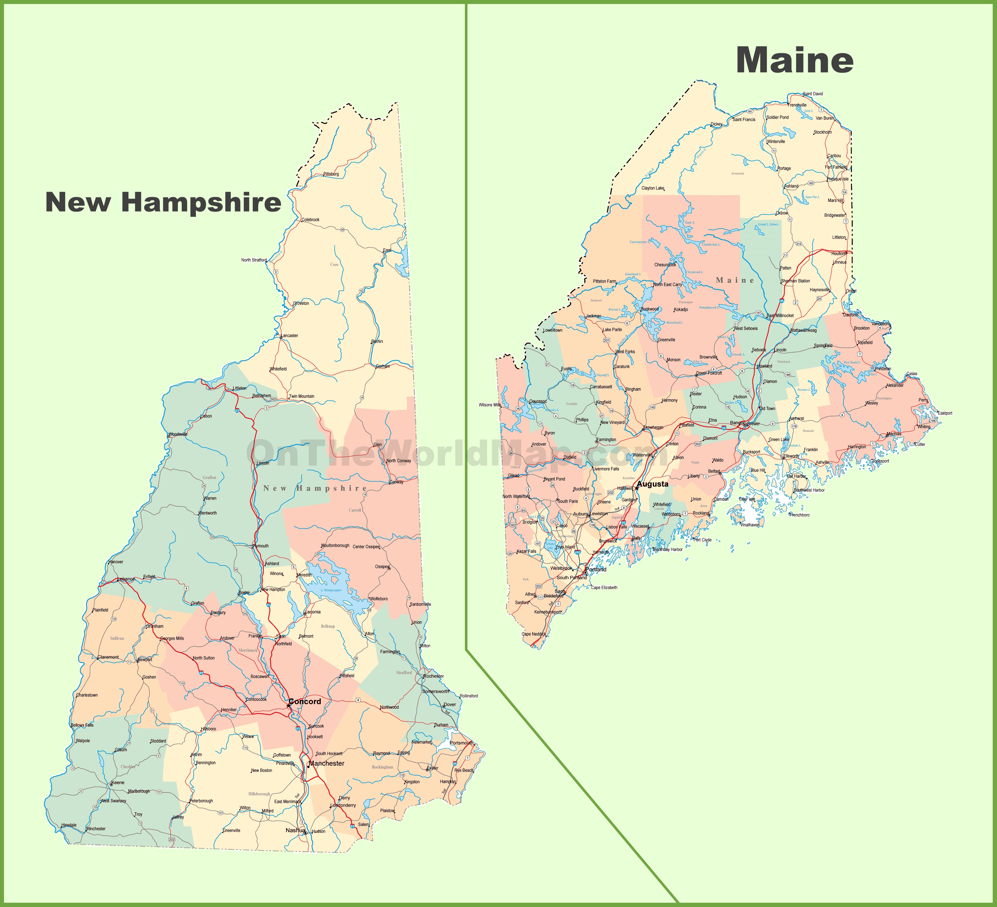
Winter in Maine is shaping up to look dramatically different from last year, driven by the presence of a strong El Nino warming the central and eastern Equatorial Pacific Ocean. According to a seasonal forecast, the upcoming 2026–2027 winter season across Maine and New Hampshire is expected to bring warmer-than-normal temperatures, above-normal precipitation, and below-normal snowfall, leaning heavily toward rain and mixed precipitation events rather than deep powder.
Southern and central Maine will likely see only about 75 percent of their typical snowfall. While Portland averages 68.7 inches of snow annually, this winter could track closer to a range of 45 to 55 inches. The primary meteorological driver behind this shift is the strongest El Nino since Chris Farley played the character on Saturday Night Live back in October 1997.
How the Jet Stream Flips the Script on Snow
Sea surface temperature anomalies in the Pacific fundamentally alter the behavior of North American jet streams. Under this strong El Nino influence, the northern polar jet stream typically weakens and retreats northward, while the southern subtropical jet stream strengthens. This configuration routinely favors a mild winter across the northern tier of the United States, leaving cooler and wetter conditions to take hold across the south.
While Maine prepares for a subdued snow season, the El Nino playbook often delivers intense winter storms further down the coast. Washington, D.C. picked up over 30 inches of snow in a storm in early February 2010. New York City recorded over two feet of snow in a storm “Jonas” in late January 2016. Data compiled over the years reveals that four out of the five biggest snowstorms in D.C. happened during periods of robust or exceptionally robust El Ninos. Three of the top five in New York hit during El Nino winters.
For northern New England, however, an active subtropical jet means plenty of precipitation, but much of it arrives as rain, sleet, or freezing rain. Past strong El Nino winters have delivered notable non-snow hazards to Maine, including the destructive ice storm of January 1998, wind gusts reaching 78 MPH in Portland on February 25, 2010, inland flooding from 6″ of rain and snow melt in December 2023, record coastal flooding on January 13, 2024, and an ice storm on March 23rd-24th 2024.
Historical Parallels and Modeling Concordance
Seasonal computer modeling for December through February strongly reinforces this warm and wet signal across Maine and New Hampshire. Historical winters sharing similar strong or very strong El Nino signatures—specifically December through February periods across 1982–83, 1991–92, 1997–98, 2015–16, and 2023–24—demonstrate a stark statistical consistency:
- 80 percent of those winters were warmer than normal in Portland.
- 80 percent had above normal precipitation.
- 100 percent were below normal in snowfall.
Furthermore, these cycles are historically known for triggering a rapid transition to spring by March, raising the prospect of an early start to the maple sugaring season and helping to fully alleviate recent regional drought conditions by 2027.
The Wildcard: Early Stratospheric Warming
Yet, meteorologists are watching a rare and unexpected wildcard that could disrupt the classic El Nino playbook. A Sudden Stratospheric Warming (SSW) event is unfolding near the North Pole, marking the strongest this early in the season since 1968. Anyone who experienced the late sixties winter season in Maine or New Hampshire will find those conditions quite memorable. February 1969 snow was one for the record books. This stratospheric disruption could weaken the polar vortex and allow modified Arctic air to spill southward.
Because an early-season weakening of the polar vortex can introduce cold air clashes and wavy jet stream patterns, mid-to-late November and early December might deliver an uncharacteristically sharp start to winter before the broader El Nino warmth takes total command.
Related reading
Pennsylvania and IDMe – IDMe Help Center
Pennsylvania DLI Integrates ID.me for Claimant Verification The Pennsylvania Department of Labor & Industry (Pennsylvania DLI) has integrated...

Portland man unveils giant 9-by-13-foot flannel shirt – KPTV
What are pants without a shirt in ‘Shirtzenpantz’ right? Ethan, a representative for Shirtzenpantz, told KPTV regarding the...
Oklahoma City council approves first hyperscale data center. That doesn’t mean there will be more
The Oklahoma City Council voted to approve a data center development, with city leaders warning that the green...

Collins rallies voters in Columbus in Georgia U.S. Senate race – WTVM.com
Collins targets Ossoff over inflation and hurricane relief in Columbus Republican U.S. Rep. Mike Collins rallied voters at...