A coastal storm moving up the Atlantic coast will bring steady rain to the Wilmington area this weekend but is unlikely to develop tropical characteristics before passing the Cape Fear region, forecasters said Friday.
The system, currently churning off Florida near the Bahamas, could strengthen and earn the name Kyle later next week as it approaches the Mid-Atlantic and New England, the National Weather Service in Wilmington said. For Southeastern North Carolina, the primary impact remains a soaking rain — less than an inch each day Saturday and Sunday — with highs in the mid-70s and lows in the mid- to high 50s.
“There is the potential for the storm to stay out at sea or perhaps take an eastward turn this weekend,” AccuWeather said in a release Friday. “If this is the case, wind, rain and coastal flooding would be less significant from North Carolina to New England.”

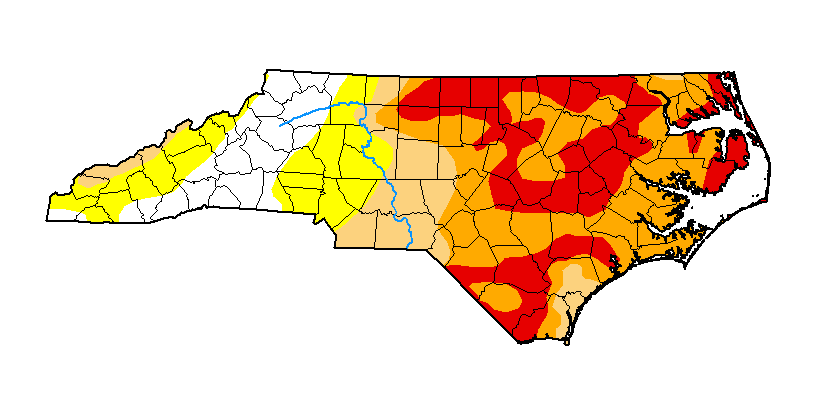
The rain arrives as parts of Brunswick and Pender counties sit in “extreme” and “severe” drought, according to the U.S. Drought Monitor update from Nov. 19. Wilmington proper is not classified in drought, but the western counties have missed months of meaningful rainfall. Yahoo News reported the drought map shows the darker the colors, the worse the rain deficit across Eastern North Carolina.
The National Hurricane Center gave the system a roughly 50 percent chance of acquiring tropical characteristics over the next seven days, but that development would occur well north of the Carolinas. The 2026 Atlantic hurricane season, which runs through November, has been the quietest in recent memory; the first hurricane did not form until early October.
While Wilmington avoids the worst, the Outer Banks face a different calculus. The barrier islands have already absorbed two nor’easters this season, leaving significant beach erosion and recurrent coastal flooding. AccuWeather warned that additional impacts, especially to N.C. Highway 12 on Hatteras Island, could force road closures this weekend.
The system has already dumped heavy rain and caused flooding across parts of Florida as it tracked north. Areas from the Mid-Atlantic to the Canadian Maritimes should monitor forecasts for stronger winds, higher surf, and heavier rainfall totals early next week.
The Outer Banks, a 200-mile string of barrier islands off North Carolina and southeastern Virginia, separate the Atlantic from Currituck, Albemarle, and Pamlico Sounds. Their location jutting into the ocean makes them the most hurricane-prone area north of Florida.
The islands are not anchored to offshore coral reefs, leaving them especially vulnerable to beach erosion during major storms. Hatteras Island was cut in half in 2003 when Hurricane Isabel carved a 2,000-foot-wide channel through Hatteras Village.
As of Friday morning, the Weather Service had issued no watches or warnings for the Cape Fear region. Friday afternoon and evening remain dry and warm, offering a final window to secure loose items before the wet weekend settles in.

West Columbus Vikings Chase Third Regional Final vs. Holmes
West Columbus Vikings football is one win from the program's deepest playoff run since 2015, and the players...

IPS Proposes Closing Six Schools Amid $20M Budget Gap, Declining Enrollment
Indianapolis Public Schools is proposing to close six buildings after this school year to address a $20 million...
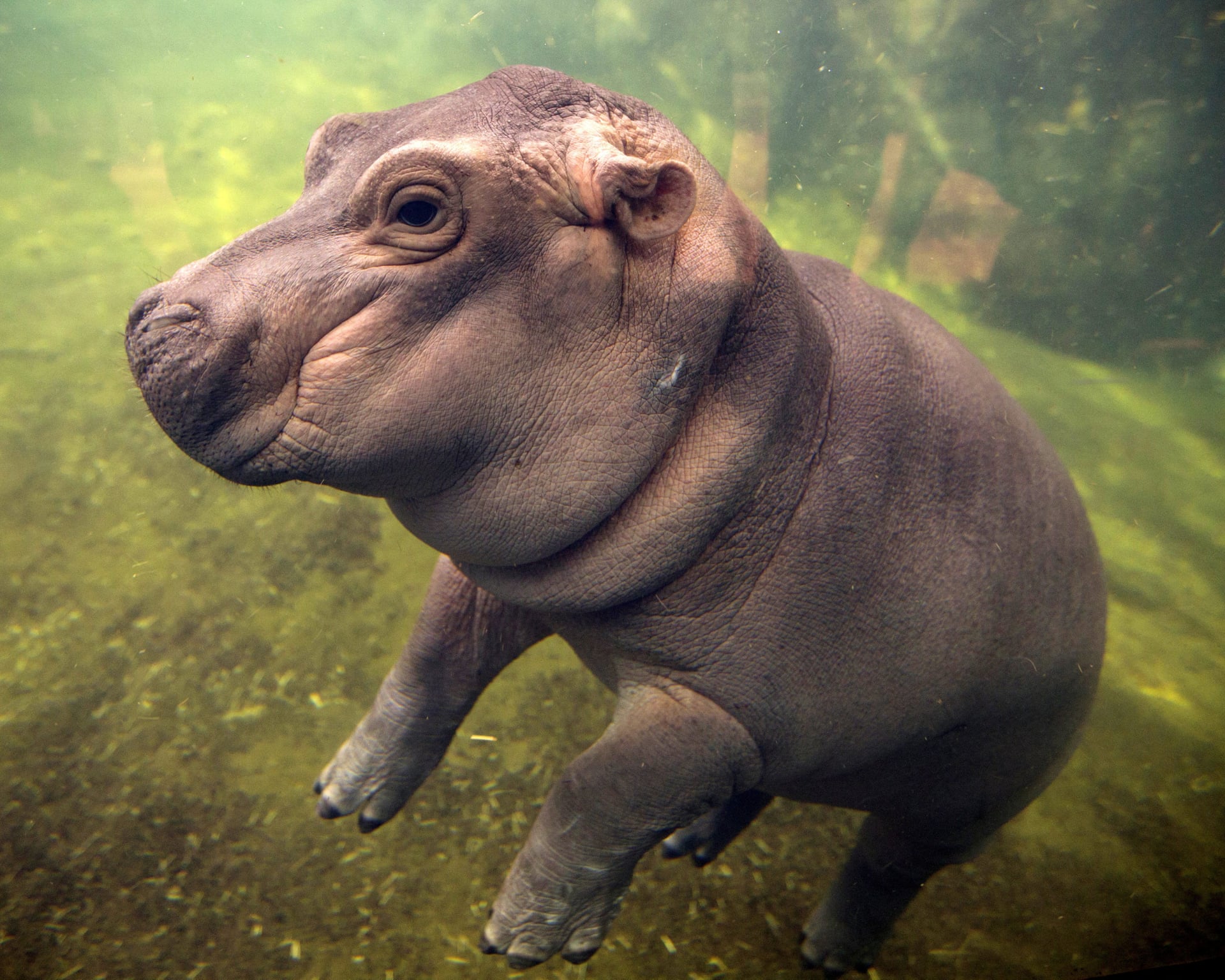
Community Leaves Flowers, Notes at Cincinnati Zoo Memorial for Hippo Fiona
Fiona, the Cincinnati Zoo's beloved Nile hippopotamus who survived a premature birth at 29 pounds, died Thursday after...

Laptop Stolen From Morgridge Hall; UW-Madison Police Log 10 Incidents
UW–Madison Police logged 10 incidents Friday, including a laptop stolen from Morgridge Hall and officers following up a...