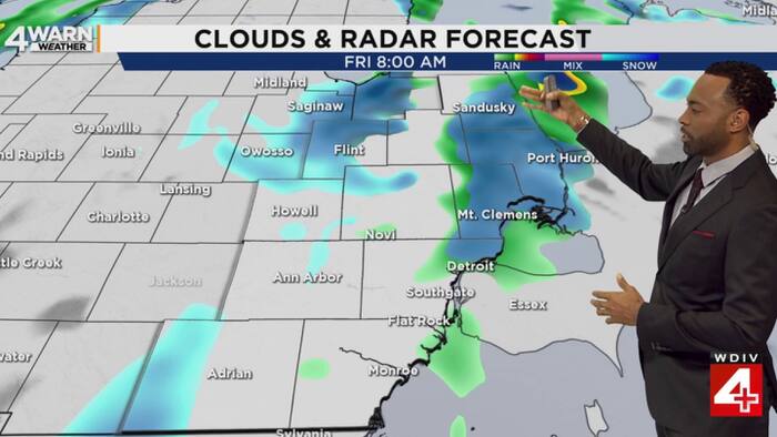
The first snow of the season could arrive across parts of Southeast Michigan on Friday morning.
A strong cold front is driving a dramatic change in temperature and increasing showers across the Great Lakes Region, WDIV reported. While much of the area will experience rain and snow showers through Saturday, the impact will vary significantly depending on local geography and ground temperatures.
The transition from rain to snow is expected to occur as temperatures drop, particularly in the northern reaches of the region. For many residents, this marks the definitive shift into winter weather patterns, though the actual accumulation may be modest for those in the more urbanized corridors.
Major metro centers are not expected to see the most snow accumulation. Instead, the heaviest snow is likely to be concentrated in the Thumb region, specifically around Port Huron.
Models suggest that northern parts of Southeast Michigan could see approximately two inches of snow by Friday morning. However, Metro Detroit faces a different scenario. Because the ground remains relatively warm, widespread snow accumulation is less likely in the metropolitan area. While a few snowflakes cannot be ruled out as the cold air moves in, any persistent flakes will likely struggle to stick to the warm surfaces.

The timing for the arrival of these wintry conditions begins earlier than Friday morning. Pockets of a wintry mix could develop as early as Thursday night around 9 p.m., WDIV reported.
The weather system is not a single-event occurrence but a multi-day transition. The cold front will bring scattered rain and snow showers that are expected to continue through Saturday.
As the front progresses, the primary challenge for local commuters and businesses will be the fluctuating precipitation types. The shift from rain to snow can create unpredictable road conditions, even if the total accumulation remains low in certain zones.
This cold air marks the end of the autumn transition and the beginning of the winter weather cycle for the region.
Worth a look

Missouri Law Bans Intoxicating Hemp Sales Except in Dispensaries
“We lost thousands of dollars in inventory at the stroke of midnight,” John Grady told kfvs12.com. The former...
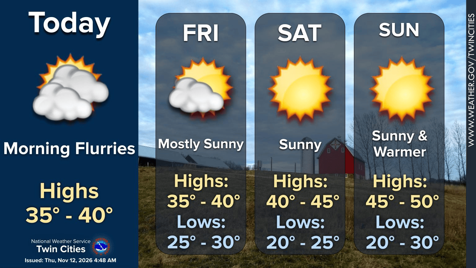
Minnesota Cold Snap Hits This Week Before Next Week Warmup
Minnesota enters its coldest stretch of November weather so far as temperatures drop into the 30s and low...

Doctor Matt Lambert Allegedly Shot Manager and Four Others in DC
A long-running dispute over apartment maintenance turned fatal Thursday morning when a man shot and killed a building...

Lander Edges Augusta in Five-set PBC Tournament Match
Augusta Volleyball saw its season end in a grueling five-set battle against Lander on Thursday night at Flagler...