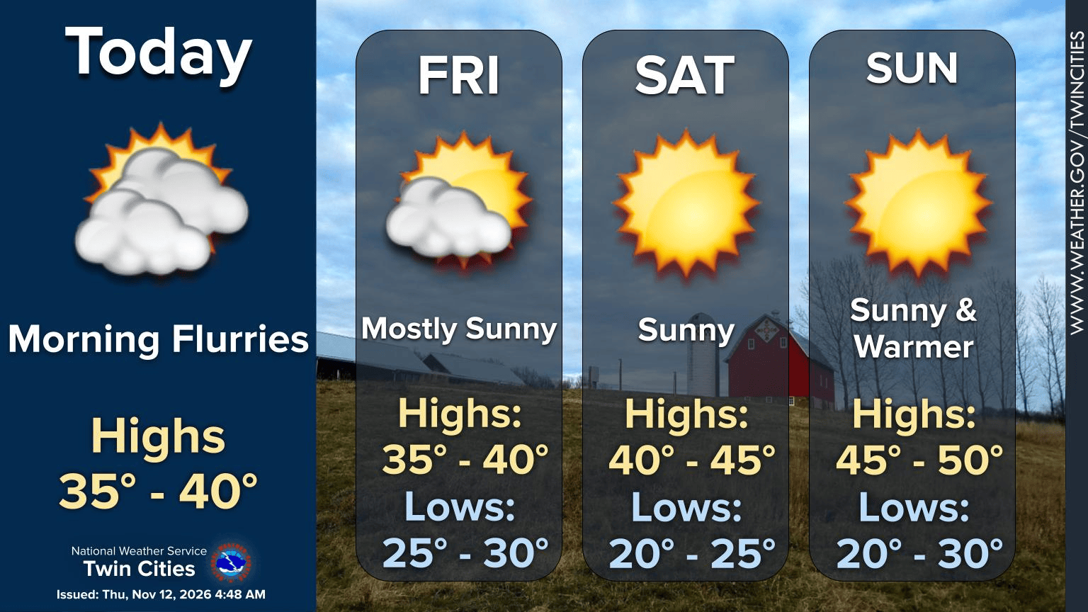
Minnesota enters its coldest stretch of November weather so far as temperatures drop into the 30s and low 40s through Saturday, MPR News reported.
The unseasonably mild conditions seen earlier this week are giving way to a period of cooling. High temperatures are expected to remain largely in the 30s and lower 40s through the end of the week, providing a sharp contrast to the recent warmth.
This shift brings a dose of seasonal reality to the region. While the immediate forecast suggests a chill, a warming trend is expected to follow the weekend dip.
Thursday will see highs mainly in the 30s and lower 40s. Overnight, partly cloudy skies will persist as temperatures fall into the teens and mid-20s across the state, MPR News reported.
The cold will linger into the weekend. Saturday morning is expected to be particularly cold, with overnight lows staying in the teens and 20s. Highs on Saturday will sit in the upper 30s to low 40s, while Sunday will see slightly warmer highs in the low to mid-40s.
The following weather pattern is expected for the region:
| Day | Forecast Highs |
|---|---|
| Thursday | 30s to low 40s |
| Friday | 30s to low 40s |
| Saturday | Upper 30s to low 40s |
| Sunday | Low to mid-40s |
| Monday | Around 50 degrees |
Temperatures are projected to climb again starting Monday. By Wednesday, highs could reach the mid-50s across the Twin Cities metro area and southern Minnesota.
In northern areas, including Grand Rapids, Thief River Falls, and International Falls, highs are expected to reach around 50 degrees. Strengthening southerly winds may make the warmth feel more intense than current blended guidance suggests.
While the weekend remains dry due to Canadian high pressure, the weather pattern may shift toward the end of next week. A developing storm system in the west could bring rain to the area between November 18 and November 22.
The National Weather Service and ensemble computer models indicate increasing probabilities for precipitation. Some models show rainfall amounts potentially exceeding one-tenth to one-half inch during that period.
The weekend will stay mostly dry with decreasing cloud cover and light winds through Sunday, according to the forecast.
Worth a look

Missouri Law Bans Intoxicating Hemp Sales Except in Dispensaries
“We lost thousands of dollars in inventory at the stroke of midnight,” John Grady told kfvs12.com. The former...
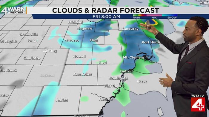
First Snow of the Season Could Arrive in SE Michigan Friday Morning
The first snow of the season could arrive across parts of Southeast Michigan on Friday morning. A strong...

Doctor Matt Lambert Allegedly Shot Manager and Four Others in DC
A long-running dispute over apartment maintenance turned fatal Thursday morning when a man shot and killed a building...

Lander Edges Augusta in Five-set PBC Tournament Match
Augusta Volleyball saw its season end in a grueling five-set battle against Lander on Thursday night at Flagler...