The National Weather Service issued an updated flood watch for Los Angeles County Tuesday at 3:46 p.m., targeting Thursday between 6 a.m. and 6 p.m. as the period of greatest risk, Sacramento Bee reported.
Forecasters moved the peak rainfall window earlier by half a day since Monday, now expecting the heaviest bursts Thursday morning and early afternoon rather than late afternoon and evening, the Los Angeles Herald reported.
Models give at least a 50% chance of rain rates around an inch per hour, especially in the mountains, with the Weather Prediction Center putting Los Angeles and its suburbs under a Slight Risk, Level 2 of 4, for excessive rainfall Thursday.
“Latest models indicate at least a 50% chance of rain rates around an inch per hour, especially in the mountains,” forecasters wrote in the Tuesday morning forecast discussion. “Rates of 1.25 inches per hour are possible where storm cells line up or merge.”
The watch covers Santa Clarita Valley, Malibu Coast, Los Angeles, Palos Verdes Hills, Western and Eastern Santa Monica Mountains Recreational areas, Calabasas and Agoura Hills, Western and Eastern San Fernando Valley, Interstate 5 Corridor, Western and Eastern San Gabriel Mountains and Highway 14 Corridor, and San Gabriel Valley, Daily News and Pasadena Star News reported.
Burn scars raise debris-flow threat
Recent burn scars from the Palisades, Eaton and Franklin fires add a layer of danger. The weather service warned of “debris flows in recent burn scars” and graphics shared by Palisades News rate the risk of burn-scar debris flows as moderate, with significant roadway flooding and rising creeks rated high, the Los Angeles Herald reported. No county evacuation warnings for the burn areas had been announced as of Tuesday morning.

People living in the Eaton and Palisades burn zones can collect up to 25 pre‑filled sandbags at two county locations: the Public Works fleet yard at 252 Mountain View St. in Altadena and Malibu Equestrian Park at 6225 Merritt Drive, the Los Angeles Herald reported.
Both sites are staffed starting two days before forecast rain. Free sandbags are also available at county and city of Los Angeles fire stations; supplies can run out.
Wind, snow and a Thursday morning high tide
Wind could become its own problem. The weather service expects widespread gusts of 30 to 50 mph, with 40 to 60 mph in the mountains and along the coast, the Los Angeles Herald reported. A High Surf Advisory is in effect for west-facing beaches. Snow levels may drop to 6,000 feet Thursday, affecting the Grapevine on Interstate 5 and Highway 14 through the Antelope Valley foothills.
Thursday morning’s high tide, around 6:30 a.m., could worsen coastal flooding if the heaviest rain arrives at the same time, the Los Angeles Herald reported.
Weather service forecasts 1 to 3 inches of rain
According to the weather service, coastal and valley areas should see 1 to 3 inches, the foothills will receive the highest amounts, and isolated south‑facing mountain slopes could pick up around 5 inches, the Los Angeles Herald reported. A faster-moving front could limit overall totals but would not lower the peak rain rates.
Rain is expected to reach the Central Coast Wednesday afternoon and evening, then spread into Los Angeles and Ventura counties overnight. The strongest bursts should hit coastal San Luis Obispo County after 10 p.m. Wednesday and Santa Barbara County after 3 a.m., then Ventura and Los Angeles counties during the morning and early afternoon hours Thursday.
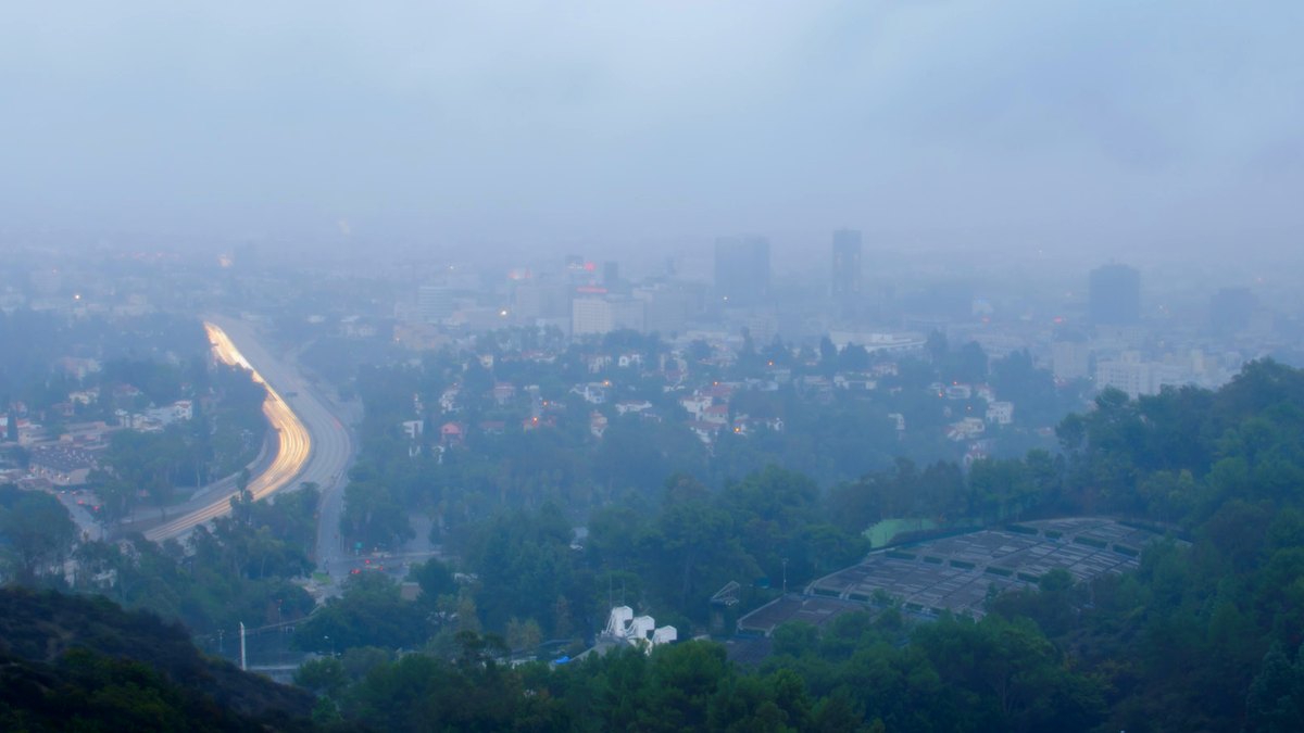
What a flood watch means
A flood watch means conditions are favorable for flooding; it does not guarantee flooding will occur, Daily News and Pasadena Star News reported. The NWS advises residents in flood-prone areas to monitor later forecasts, be alert for possible Flood Warnings, and be prepared to take action should flooding develop. The watch is in effect until Thursday at 6 p.m.

James Buchanan Sworn in as Florida State Senator for District 22 in Tallahassee Tuesday
James Buchanan was sworn in Tuesday as Florida state senator for District 22, succeeding Joe Gruters and shifting...

Colorado Trail Foundation: Flooding Erases 18 Miles Near Durango, Worst Damage in 52 Years
Historic flooding in southwest Colorado has erased 18 miles of the Colorado Trail near Durango, cutting off the...

North Carolina Ranks Low in Defense Economy Despite Top Military Assets, Leaders See Generational Opportunity
North Carolina ranks in the bottom half of states for defense-related economic activity despite having the fourth-largest active-duty...

David Landsel Says Stamford Diner’s Cheeseburger Burrito Is Outrageous
In a column for Yahoo Life, food writer David Landsel argues that a double bacon cheeseburger burrito at...