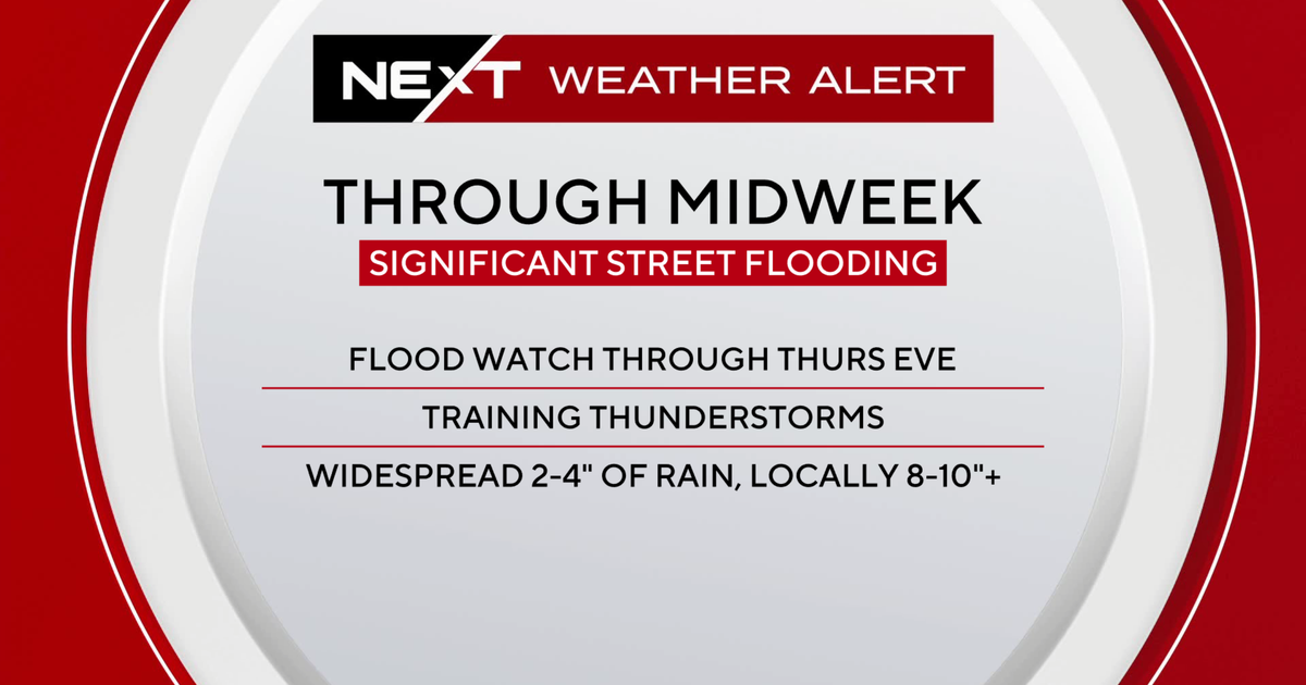
Heavy rain and severe thunderstorms struck South Florida on Tuesday triggering dangerous street flooding and flash flood warnings along the Atlantic coast.
Radar estimates from the CBS News Miami NEXT Weather team indicate that 6 to 8 inches of rain already fell across parts of the region by Tuesday night. Rainfall rates reached 3 to 5 inches per hour at times, inundating communities from Hollywood to Lauderhill.
The National Weather Service in Miami issued a Flood Watch for Miami-Dade, Broward, and Palm Beach counties through Thursday evening. The Weather Prediction Center placed portions of southeastern Florida under a Level 2 of 4 risk for excessive rainfall.
Severe thunderstorms also produced multiple reports of quarter-size hail in Hollywood on Tuesday evening. The system responsible for the downpours stalled over Florida after producing severe weather in Texas and Louisiana over the weekend, including a twister near Sand, Texas.
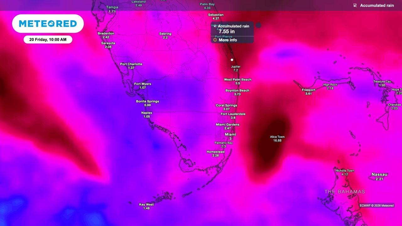
Forecast models show that widespread rainfall totals of 2 to 4 inches are expected along the Atlantic coast through Friday. Isolated pockets could approach or exceed 10 inches if slow-moving thunderstorm bands repeatedly track over the same neighborhoods.
The Melbourne National Weather Service office said that “rainfall amounts of 3 to 6 inches are forecast with localized higher amounts of 8 to 12 inches,” as reported in a flood watch issued by the Melbourne National Weather Service office.
A high rip current risk remains in effect for Miami-Dade and Broward counties through Thursday evening.
Officials urge residents in affected areas to avoid flooded roadways and seek higher ground if water begins entering homes or vehicles. A cold front crossing the central United States is expected to push the low-pressure system away by early next week, bringing drier air to the region.
Worth a look

Portland City Council to Weigh AI Expansion Limits and One-Year Contract Pause
Portland City Council will consider a proposal next month to limit the expansion of artificial-intelligence use by city...
Louisville Zoo Stork Dies of Bird Flu; Mate Euthanized
Two European white storks at the Louisville Zoo have died after contracting avian influenza, prompting facility operators to...

Woman Crashes Car Into Gino’s Restaurant in Baton Rouge After Pedal Error
A woman crashed a white sedan into the side of Gino's Italian Restaurant in Baton Rouge on Tuesday...

Voyager 1 Crosses One Light Day Threshold, Marks Farthest Human-Made Object
Voyager 1 crossed a historic threshold on November 18 by traveling one light day away from Earth, marking...