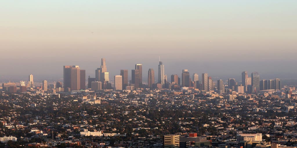
Central California absorbed a magnitude 5.0 earthquake and more than a dozen aftershocks near Pinnacles National Park late Thursday, while a separate magnitude 4.4 tremor jolted East Los Angeles before dawn Friday, Fox Weather reported.
The primary quake struck at 10:49 p.m. Thursday roughly 13 miles southwest of Soledad at a depth of 6.7 kilometers, according to the U.S. Geological Survey data cited by usnow.us. Two foreshocks — magnitude 3.1 at 9:53 p.m. and magnitude 3.3 at 10:12 p.m. — preceded the main event, KSBW reported.
In the hours that followed, the region recorded over a dozen aftershocks ranging from magnitude 2.5 to 3.4, with a magnitude 4.4 aftershock arriving just before 3:30 a.m. Friday at a depth of about 10 miles, Fox Weather reported.
Shaking was felt across Central California and as far north as the San Francisco Bay Area, Fox Weather reported. Residents in Marina received USGS ShakeAlert notifications urging them to “drop, cover, hold on” if shaking intensified, KSBW reported. No injuries or structural damage have been reported, according to multiple outlets.
“A rupture crossing from one region to the other requires favorable conditions at depth.”
The cluster sits along the San Andreas Fault where it runs beside California Highway 25 south of Hollister, Fox Weather reported. That section of the fault creeps steadily, releasing strain in frequent small quakes rather than storing it for a massive rupture, qz.com noted, citing USA TODAY and TIME.
The southern San Andreas, by contrast, has not ruptured in a major earthquake for roughly 160 years, and strain there is higher than at any point since the 11th century, TIME reported.
California sits on the Pacific Ring of Fire, a 25,000-mile belt of subduction zones and transform faults where roughly 90 percent of the world’s earthquakes occur, Fox Weather reported. The state’s position on the boundary between the Pacific and North American plates makes seismic swarms like Thursday night’s a recurring feature of the geology, not an aberration.
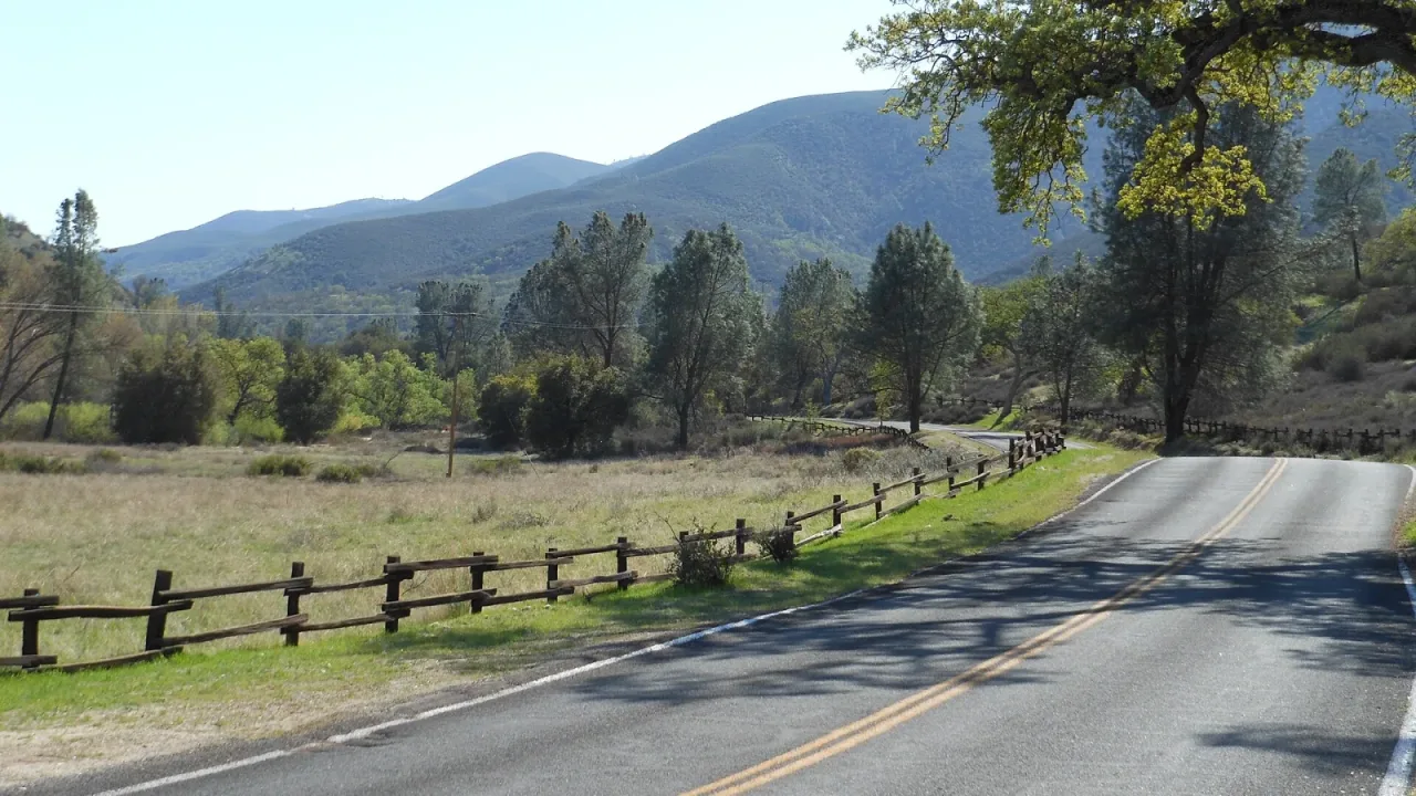
The Los Angeles quake, centered about five miles southeast of downtown at a depth of roughly 10 miles, was initially rated magnitude 4.2 before the USGS upgraded it to 4.4, Fox Weather reported. It occurred on a different fault strand than the Pinnacles sequence, illustrating how the plate boundary distributes strain across a broad zone rather than a single crack.
Pinnacles National Park protects the eroded remnants of an extinct volcano that has traveled roughly 200 miles along the San Andreas Fault from its original location. The park spans the boundary between the Pacific and North American plates, and its namesake formations sit directly on the creeping section of the fault where strain releases in frequent small quakes rather than large ruptures.
Originally proclaimed a national monument by President Theodore Roosevelt in 1908, it became a national park in 2013. The area also serves as a release site for captive-bred California condors.
Emergency managers continue to monitor the aftershock sequence near Soledad. The USGS has not issued a heightened alert for a larger mainshock, and the creeping segment’s history suggests the swarm will taper off without a major rupture. But the southern San Andreas — 200 miles to the southeast — remains the fault that keeps seismologists awake, qz.com reported.
Worth a look

U.S. Marshals Arrest Philadelphia Abduction Suspect Olunkayode Taiwo in Connecticut
U.S. Marshals arrested Olunkayode Taiwo in Newington, Connecticut, on Thursday night, ending a weeks-long search for the 28-year-old...

Passenger Jumps From Vehicle During 100 MPH Pursuit Near Thompson; Two Arrested
Three miles of Interstate 29 near Thompson became a crime scene on Nov. 13 after a routine speed...

Five Authors Host Book Events Across New Hampshire This Weekend
Five authors will appear at bookstores, libraries and a theater across New Hampshire this weekend, offering talks on...
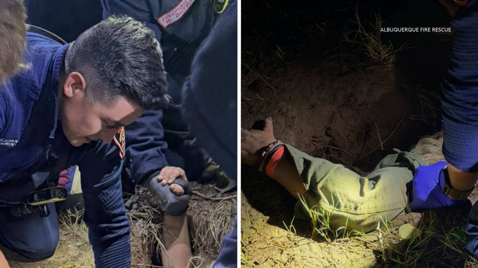
Woman Trapped Chest-Deep in Sinkhole on Rio Grande Bank After Fall Rains
Historic fall rains have turned Albuquerque's dry Rio Grande riverbanks into a trap, pulling a woman chest-deep into...