The Mid-Atlantic is sliding back into drought while a coastal storm forming off Florida this weekend could either deliver soaking rain or miss the region entirely, NBC4 Washington reported.
Over the past 30 days, Reagan National Airport has recorded just 0.17 inch of rain — the fifth-driest such stretch since 1872 — while Dulles (0.57 inch) and BWI Marshall (1.31 inch) have fared only slightly better.
Until the storm arrives, the region will see mild, dry weather. NBC4 forecasts highs in the 60s to near 70 degrees through Saturday with overnight lows in the upper 30s and low 40s. The storm will not form until Friday afternoon near the south Florida coastline, then track northward, bringing excessive rainfall — over 10 inches possible — from Miami to Savannah, Georgia, to the Outer Banks through Saturday.
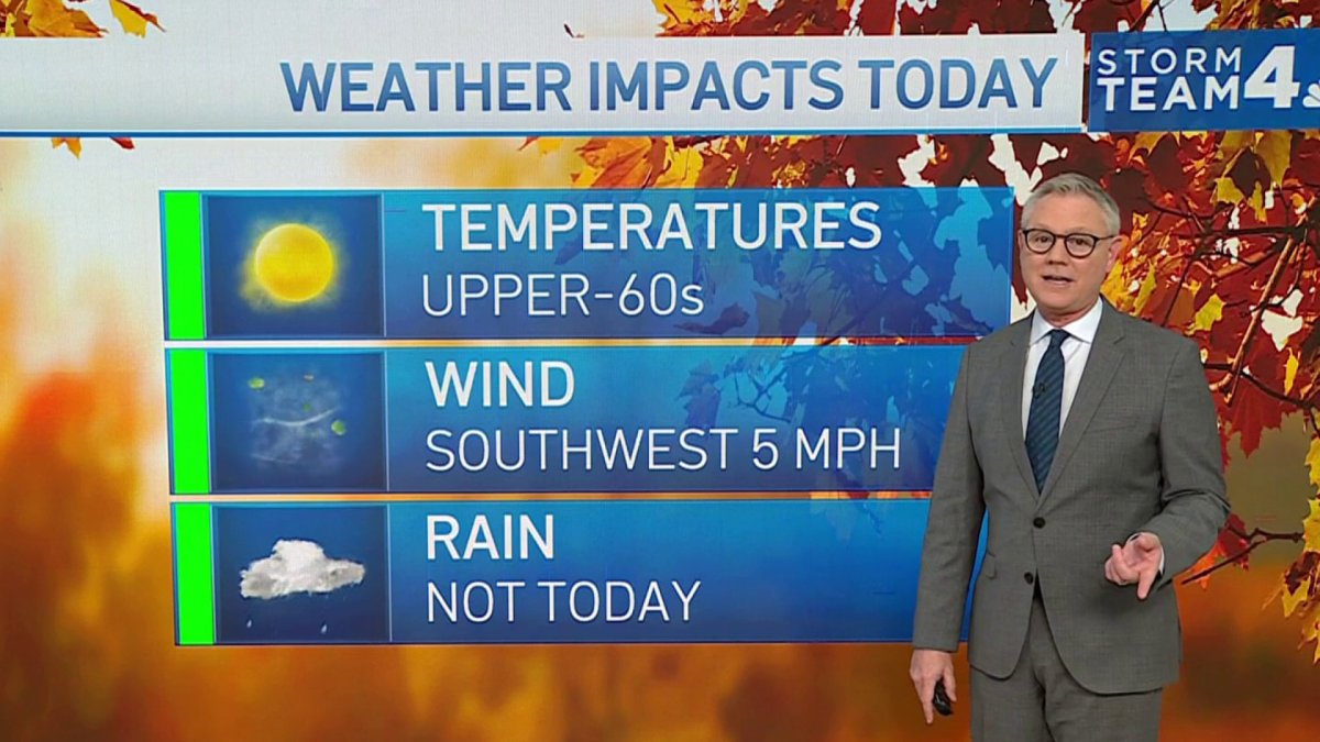
NBC4’s QuickCast shows Thursday mostly sunny and mild with light southwest winds at 5 mph, highs 63 to 68 degrees, and zero percent rain chance. Thursday night will be clear with a low of 36 to 42 degrees. Friday will be generally sunny with highs 67 to 72 degrees.
Saturday will bring increasing clouds but stay dry through sunset, with highs 65 to 70 degrees and a 10 percent rain chance. Sunday turns cloudy and cooler with afternoon showers likely, a 60 percent rain chance, and highs 57 to 63 degrees.
How much rain reaches the Mid-Atlantic remains “very much up for debate,” NBC4 said. The most likely outcome is 0.50 to 1.0 inch, with steadiest rain arriving Sunday evening. But a track farther out to sea could leave the Shenandoah Valley dry, while a track closer to the Chesapeake Bay could push totals to 2 inches east of the I-95 corridor.

WBRZ described the same developing system as a non-tropical low pressure area forming near the northern Bahamas by late Friday, likely becoming a subtropical or tropical storm as it moves north along the southeastern U.S. coast.
The station noted the system has a medium chance of formation and will stay well east of the Gulf Coast, posing no threat to Louisiana or Mississippi. The station also said that stubborn clouds will hang around overnight Thursday with lows barely dropping into the upper 50s, and Friday will bring a mix of sun and clouds with highs reaching the upper 70s.
A strong cold front will push through the region Monday night into Tuesday, ending the mild pattern. NBC4 projects Monday highs in the mid-60s but Tuesday struggling to reach 50 degrees.
Highs Wednesday and Thursday — Thanksgiving — are likely to stay in the 40s with rain chances. WBRZ similarly forecast temperatures falling closer to or below average early next week, with highs in the 60s and lows in the 50s, and a chilly Thanksgiving Day.
The Mid-Atlantic, spanning seven states and Washington, D.C., held a population of 60,783,913 in 2020 — close to one-fifth of the nation’s total. The region’s European history began when Giovanni da Verrazzano sighted it in 1524, followed by Henry Hudson’s 1611 exploration for the Dutch.
The first permanent English colony in North America took root at Jamestown, Virginia, in 1607, and the area later became known as the Middle Colonies, a strategic bridge between North and South where more Revolutionary War battles were fought than in any other theater.
Forecasters emphasized the track uncertainty will determine whether the weekend storm breaks the dry spell or deepens the drought heading into the holiday week.
Keep reading

Fargo Veteran Speaks After Judge Dismisses Street Fair Gun Case
Owen Stish, a 27-year-old veteran, is speaking publicly for the first time since a federal judge dismissed the...

Kansas Erases 11-Point Deficit, Outlasts West Virginia 86-82 to Reach Players Era Final
Kansas erased an 11-point deficit in Las Vegas on Wednesday night, outlasting West Virginia 86-82 to reach the...

Appeals Court Rejects Democrat LaMonica McIver’s Bid to Toss Charges Over ICE Protest
A federal appeals court on Thursday refused to rehear the case against Representative LaMonica McIver, leaving the New...

Prosecutor Declines Charges Against Officer Who Fatally Shot Black Man in Madison
"We're destroyed. We won't accept this," Adam Ruiz told reporters Thursday, hours after Dane County District Attorney Ismael...