
Green Bay and the Fox Valley have yet to record their first measurable snowfall for the 2026 season. This delay marks an unusual departure from the typical mid-November timeline for the region, FOX 11 News reported.
While the Northwoods has seen some activity, the core of Northeast Wisconsin remains without a measurable accumulation. A measurable snowfall is defined as at least a tenth of an inch.
The current weather patterns have kept the region in a mild state throughout the autumn. Discussions regarding winter weather have been largely nonexistent as the season transitions slowly.
In the far northern counties, such as Forest County, residents have seen a few flakes. However, even these northern areas are trending behind their historical averages for the first measurable snowfall.
Winter arrives at different times across Northeast Wisconsin's latitudes. While the southern parts of the region wait for the first tenth of an inch, the northern communities are often much further ahead in the seasonal cycle.
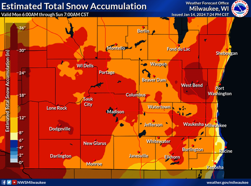
Typical snowfall thresholds for the area are outlined below:
| Snowfall Amount | Typical Timing (Green Bay/Fox Valley) | Typical Timing (Northwoods/North of Hwy 8) |
|---|---|---|
| 1 inch or greater | Early December | Already passed in some areas |
| 3 inches or greater | Mid-December | Already passed in some areas |
For those living in the Green Bay and Fox Valley areas, the first inch of snow typically does not arrive until early December. The more substantial “appreciable” snowfall—defined as three inches or more—usually waits until mid-December.
Communities located north of Highway 8 generally experience a different timeline. In these northern stretches, it is not unusual to see snowfall by the middle of November.
Forecasts for the immediate future do not include any measurable snow for the region. Heavy mid-winter snow accumulation is still weeks away, but meteorologists say winter-like weather often arrives soon.
Related reading

University of Wyoming Earns 2026 CPN Seal of Prevention for Student Well-Being Excellence
The University of Wyoming has earned the 2026 Campus Prevention Network (CPN) Seal of Prevention, a distinction held...
Sanda and Jerry Lambert lead new Lambert Institute at Mount Vernon
The Lambert Institute for Digital History and Innovation George Washington's Mount Vernon is expanding its scope of historical...
Tax Payment Deadline November 13 at 4:00 PM
Montgomery residents have until 4:00 p.m. this Friday, November 13, to pay their tax bills in full, according...

Denver Dunn Specializes in Complex Commercial Litigation
Denver Dunn focuses his legal practice on complex commercial litigation, according to Sidley Austin LLP. His work involves...