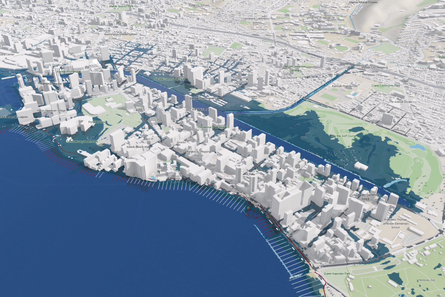
A new study says Oahu could hit a critical sea-level threshold between 2073 and 2102, but the infrastructure built for yesterday’s coastlines is already failing, SFGATE reported.
The research, led by the University of Hawaii at Manoa’s Climate Resilience Collaborative, finds that traditional models looking only at rising water miss up to two-thirds of the threatened land area and 85% to 100% of the critical infrastructure at risk.
By layering shoreline erosion and annual high-wave events on top of passive flooding, the team found a tipping point — somewhere between 0.9 and 1.2 meters of rise — where isolated hazards cascade into island-wide system failure.
“Chip Fletcher, senior author on the paper, director of CRC, and dean of SOEST said that sea-level rise will not come to Oʻahu as a slow, harmless rise in the water level. Fletcher added that waves and erosion are already damaging homes, roads and wastewater systems, and the results show a threshold where scattered local problems become widespread infrastructure failure.”
The numbers are stark. At the tipping point, the count of affected residents more than doubles from roughly 27,800 to 58,100. Buildings at risk jump from 5,900 to 11,100. Road exposure expands from 57 miles to 130 miles, and sewer mains in the flood zone grow from 61 km to 151 km, according to the study.
The Waikiki precedent
Waikiki sits at the center of the exposure. The neighborhood’s density — thousands of residents, hotels, and roads packed onto low-lying land — makes it a force multiplier for flooding. Anna Mikkelsen, the study’s lead author and a doctoral student in Earth and planetary sciences, told SFGATE that at four feet of rise, standing water on streets becomes a daily high-tide reality, even without rain.

“Mikkelsen said that every day at high tide at least, everything would be flooded, and a lot of the buildings and residential homes and roadways and all that buried infrastructure is all going to be affected pretty rapidly.”
Compounding the threat, a separate UH Manoa study published earlier this year found that rising seas will push polluted water from the Ala Wai Canal backward through storm drains onto Waikiki streets.
Kayla Yamamoto, one of the authors of that study, said in a news release that contaminated flooding will become more frequent, more extensive, and eventually a daily occurrence rather than a storm-driven one, and that there are currently no effective management strategies in place to address this.
Rural lifelines cut first
The crisis is not confined to Honolulu. On the windward coast, a 200-meter stretch of Kamehameha Highway at Kaʻaʻawa — the only road on the east side — becomes impassable from erosion at just 0.3 meters of rise, roughly one foot, around mid-century. On the west side, Farrington Highway accommodates up to ~40,000 vehicles a day.
Rising groundwater adds a quieter danger. As the water table lifts, it inundates cesspools and septic systems still common across the island, leaching contamination into coastal waters. The study notes that storm-driven flooding — like the back-to-back kona low storms that hit Hawaii earlier this year — will deliver severe impacts well before the chronic tipping point arrives.
Planning vs. reality
Voters approved a climate resiliency fund for the City and County of Honolulu in 2024. The Office of Climate Change, Sustainability and Resiliency says the fund has supported more than 20 city climate programs. But an investigation by Honolulu Civil Beat published in September found that none of those investments have happened yet.
Mikkelsen said researchers plan to share the new findings with government agencies to inform adaptation decisions. Mikkelsen said the decisions made today regarding where to retreat and adapt, as well as broader scale emissions, will determine how shorelines look for future generations.
The gap between the models planners have used and the compound hazards now documented is the story. The question is whether the bureaucracy can move faster than the water.
Worth a look
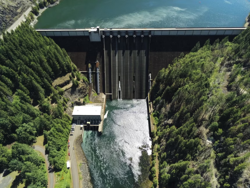
Army Corps Begins Detroit Reservoir Step-Down Drawdown to 1,425 Feet for Endangered Fish Passage
The U.S. Army Corps of Engineers will drop Detroit Reservoir to 1,425 feet later this month, the first...
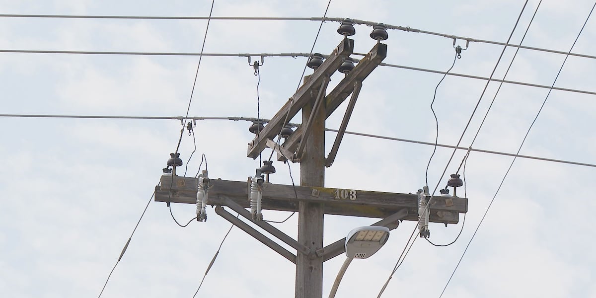
Kentucky Utilities Says Grid Faces No Threat as 90-Day Blackout Posts Spread Online
Social media posts warning of a 90-day nationwide blackout collided with reality when Kentucky Utilities stated its grid...

Taylor Swift Eras Collection Opens at Boston MFA April 2027, First Musician Exhibition
The Museum of Fine Arts in Boston will open "Taylor Swift: The Eras Collection" on April 10, 2027,...

No. 2 Maryland Faces Harvard in NCAA Semifinals at Trager Stadium
No. 2 seed Maryland takes the field Friday at noon against No. 3 seed Harvard in the NCAA...