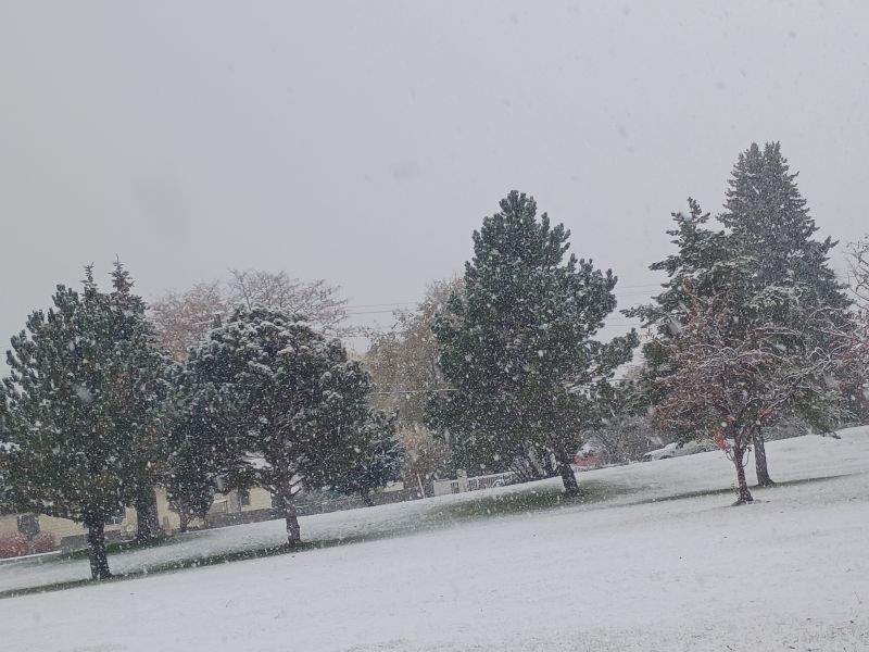
Forecasters expected a cold rain over Pocatello on Tuesday. They got a heavy, wet snow that coated lawns and rooftops instead.
“We were expecting a cold rain with the possibility of some snow accumulation in the valley, but that was the least likely scenario,” John Keys, a meteorologist with the National Weather Service in Pocatello, told EastIdahoNews.com. “But it was just cold enough to snow.”
The surprise accumulation slicked area roadways Tuesday morning and signaled the start of an unsettled pattern that the Weather Service expects to persist through the weekend.
A parade of systems is forecast to move through the region every other day, with daytime highs in the mid-30s to low 40s and overnight lows in the upper 20s to low 30s — temperatures that raise the odds that future precipitation falls as snow and sticks around.
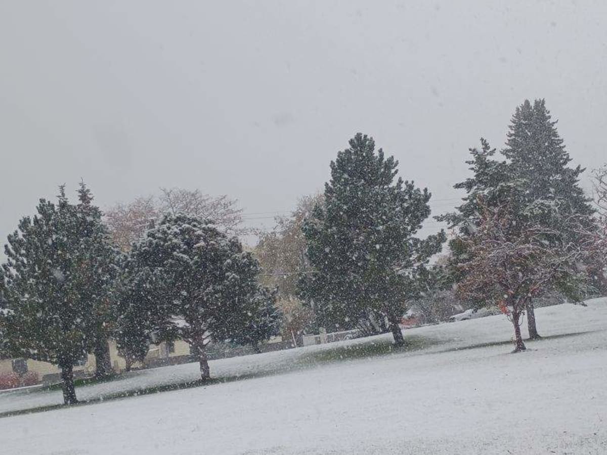
“We can expect more rain and snow mix,” Keys said. “Temperatures are expected to get colder, so there is more likelihood that snow will stick.”
The week ahead
Wednesday offers a brief break with a mix of clouds and sunshine before the next system arrives. Thursday brings another round of rain and snow, with accumulation possible Thursday night. Colder air settles in Friday, keeping highs in the 30s with continued precipitation chances. Saturday provides a temporary pause, though temperatures remain chilly. Another system could bring additional rain and snow Sunday.
Motorists should prepare for changing road conditions, especially at higher elevations and on mountain passes where accumulating snow can make travel slick. For the latest highway conditions, visit Idaho 511.
Worth a look

Contractor’s Hose Releases Estimated 5,000 Gallons of Propylene Glycol at SpaceXSI Southaven Site
A contractor's misconfigured hose released an estimated 5,000 gallons of propylene glycol into a Southaven drainage ditch Saturday,...
Former NH Lawmaker Charged in Minneapolis Shooting; Warrant Issued, Not in Custody
"I heard somebody, I thought somebody was beating the door up," a witness told FOX 9. "Come to...

Athletic: Red Sox Agree to 4-Year, $58M Deal With Bauers
Four years and $58 million for a first baseman who was cut from a 40-man roster two winters...

HK Law: Michigan Voters Approved Sweeping Pay-to-Play Law for Contractors, Utility Ban
Michigan contractors and utilities face sweeping new limits on political giving after voters approved Proposal 2 on November...