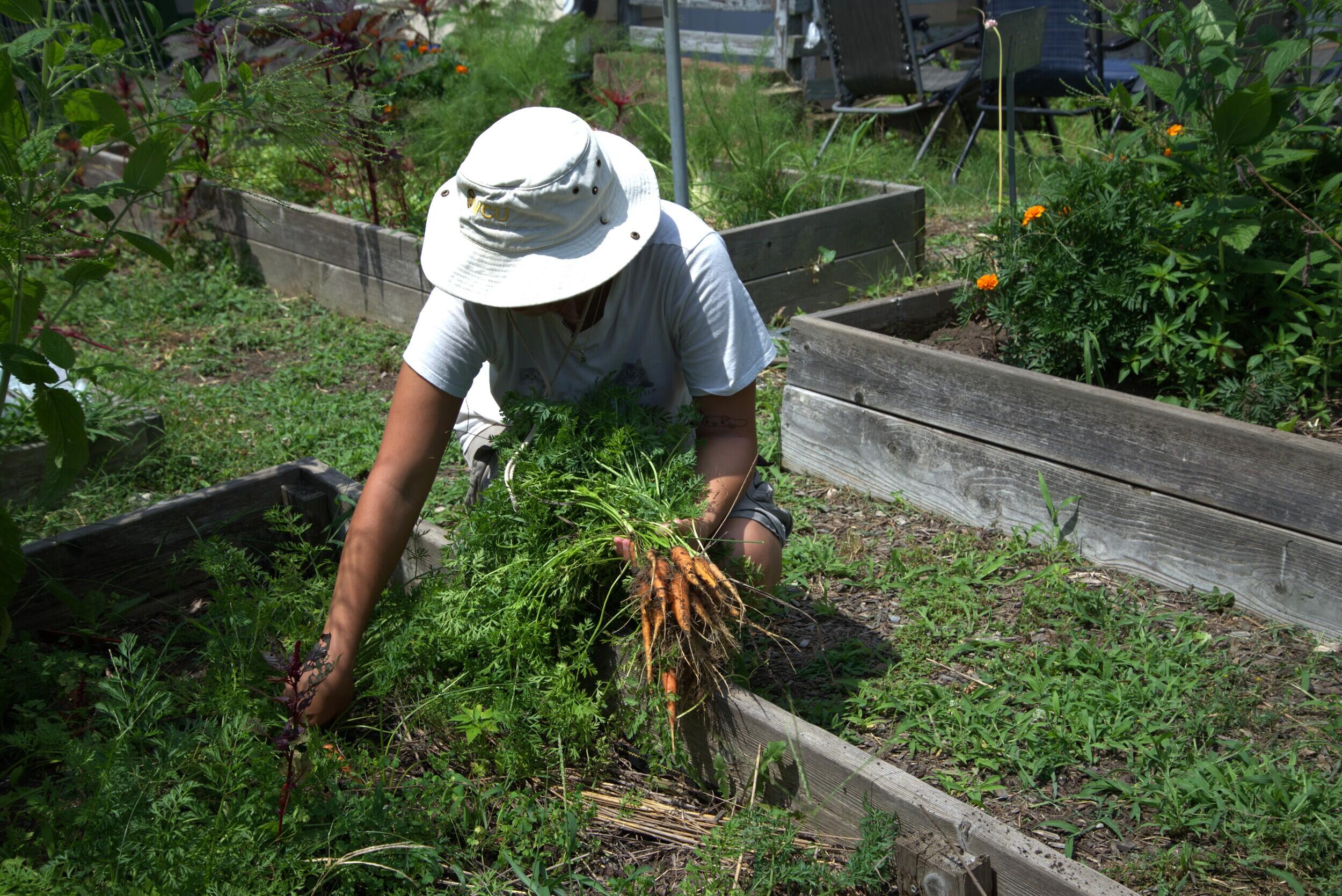
Virginia Commonwealth University researchers have built a mapping tool that scores every 30-meter square of Richmond for its potential to grow food, VCU News reported.
The Richmond urban Land Evaluation and Site Assessment — uLESA — assigns each parcel a suitability rating up to 100 based on more than 20 factors, from soil quality and slope to proximity to water and socioeconomic indicators.
The model was developed by master’s student Emily Hastings under the guidance of John C. Jones, Ph.D., an assistant professor in the School of Life Sciences and Sustainability, and it highlights a striking pattern: the highest-scoring land clusters in neighborhoods that were redlined in the 1930s and have seen decades of disinvestment.
“The goal was to give communities and decision-makers a clear, evidence-based picture of where potential agricultural resources are in the city.”
Emily Hastings, former master’s student, VCU
Jones approached the city in 2024 after learning that Chesterfield County had created its own uLESA map. Laura Thomas, director of Richmond’s Office of Sustainability, said the collaboration aligned with her office’s environmental justice mandate.

“The output of this tool is allowing us to see not just where we could grow food, but to best serve our most vulnerable populations where we should grow.”
Laura Thomas, director, Richmond Office of Sustainability
Thomas said the map is already informing conversations with the city’s parks and recreation division, which runs community garden programs, and with local farmers scouting sites. It could also shape how Richmond uses parcels it already owns or acquires in the future.
The project team brought minority agriculturalists into the review process starting in summer 2024 to ground-truth the data. Hastings, who is now pursuing a Ph.D. in geography at Temple University, emphasized that community engagement in high-scoring areas is essential so that benefits stay with residents rather than inviting displacement.
Gilpin Court, a public housing community with a large green space, illustrates the stakes. The model flags its open land as highly suitable for agriculture — a potential counterweight to the food desert that surrounds it.

Andrew Cameron, a VCU graduate who worked on the tool as a research assistant, now works as a GIS specialist at Wetland Studies and Solutions. Maggie Colangelo, a dual graduate of VCUarts and environmental studies, designed the graphic that explains how the scoring factors stack together.
Jones said he pursues research that “actually does something to change people’s lives on a somewhat day-to-day basis.” The uLESA map is not yet in official use, but Thomas confirmed the city is tapping it for insight as it plans its next green investments.
Related reading

Trump Introduces New Chip Rules Drafted by Treasury, Not Commerce
President Donald Trump introduced new semiconductor export rules Monday, written by the Treasury Department instead of the Commerce...

Debbie Biggs, 66, of Hampton, Arkansas, Dies; Services Nov. 21
Debbie Biggs, 66, of Hampton, Arkansas, died Sunday; services are Nov. 21 at Victory Baptist Church. Debbie Biggs,...

Nvidia Shares Surge as Kress Lifts Fiscal 2028 Revenue Growth Outlook
Nvidia shares surged in after-hours trading Tuesday after interim Chief Executive Colette Kress lifted the chipmaker's fiscal 2028...

Cheyenne Parent Charity Campfield Seeks Wyoming Bill for Post-Suicide School Support
Cheyenne parent Charity Campfield is asking Wyoming lawmakers to introduce a new suicide-prevention bill after her daughter died...