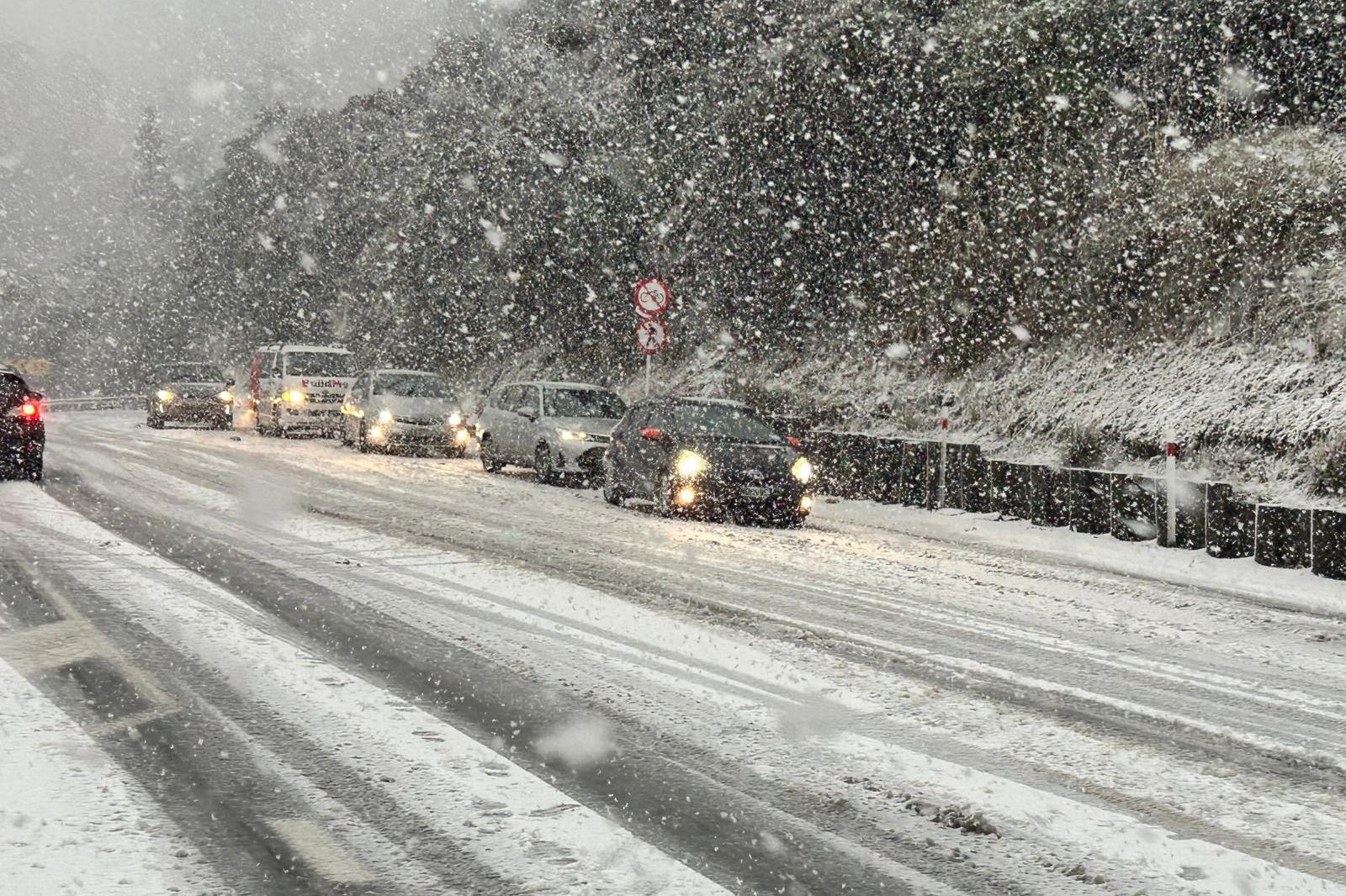
A powerful polar blast struck New Zealand, bringing snow to low elevations across the South Island on Tuesday, closing major roads, schools, and mountain passes, and disrupting Cook Strait ferry services as authorities urged residents to avoid unnecessary travel.
Winter tightened its grip on New Zealand as a fierce cold wave swept northward from the Southern Ocean. The severe weather system dumped heavy snow on alpine passes and lowered freezing levels across Otago, Southland, and Canterbury. Temperatures plummeted well below freezing in several regions, while coastal areas contended with gales, hail, and towering waves.
Highway Closures and Travel Disruptions Across the South Island
Transportation networks faced immediate strain as snow and ice blocked key routes. State Highway 1 between Dunedin and Waitati was closed after cars and trucks became stuck on the Leith Saddle on Monday morning, before NZTA announced the closure of the road just after 9.30am. MetService meteorologist Devlin Lynden noted that unstable southwesterly flows channeled moisture and cold air across the southern coast, stating that snow had affected the southern regions over the weekend and would continue to fall on Monday through until Tuesday.
Police urged people in the southern city of Dunedin to avoid traveling unless absolutely necessary because of snow and icy road conditions. Numerous other mountain passes and highways faced snow warnings and restrictions. MetService issued several road snowfall warnings as a result, including the Dunedin to Waitati Highway (SH1) under a warning from midnight Sunday through to 8pm Monday night, with 1-3cm of snow expected at the highest part of the road. A warning was also in place on the Milford Rd (SH94) until 6pm on Monday, as showers turned to snow, with 4-10cm expected at the summit. The Crown Range Rd remained under a warning until 7pm on Monday, while a warning for the Lindis Pass (SH8) was in place until 6pm. State Highway 87 from Kyeburn to Middlemarch has also been closed, NZTA said about 10.10am. State Highway 85 between Kyeburn and Palmerston remained open, but was subject to an area warning due to snow. Caution was also urged on State Highway 88 at Sawyers Bay due to surface flooding, NZTA added.
Sub-Zero Temperatures and Power Outages Hit Communities
The frigid conditions pushed overnight temperatures down to -5°C at Dunedin Airport and Tekapō, while Christchurch recorded -1°C. MetService meteorologist Samkelo Magwala told the Herald, In simple terms, it’s going to be real cold.
In the North Island, Rotorua had a forecast low temperature of -2°C, Hamilton was expected to drop to -1°C and Taupō to -2°C. Meanwhile, other South Island residents awoke to no power and near sub-zero temperatures, including around Fairlie, who also had to contend with a power cut.
School Closures and Inter-Island Ferry Cancellations
The storm disrupted education and maritime transport. The severe weather also disrupted education, with all primary and intermediate schools and Dunedin kindergartens between Mosgiel, Port Chalmers and Waikouaiti closed for the day. East Otago High School in Palmerston was also shut.

Conditions in the Cook Strait, which separates New Zealand’s North and South islands, deteriorated as strong winds swept through the area. Four Interislander sailings between Wellington and Picton were canceled, while Bluebridge canceled all six of its Tuesday crossings and two early Wednesday services. MetService also issued a heavy swell warning for the Wairarapa coast south of Ngawi, forecasting waves of up to 6 meters (19.7 feet) through early Wednesday.
Ski Fields Rejoice While Road Crews Monitor Lingering Hazards
The snowfall overnight and this morning was hugely welcomed by the Mt Hutt ski field who recorded 90cm of snow. Name a better sight to wake up to.. we’ll wait,
a post on the ski field’s social account with photos of the snowfall read. Further south, the Lake Tekapo Volunteer Fire Brigade assisted several stranded motorists, including their first rescue on Friday night after a grader rolled off of its transporter.
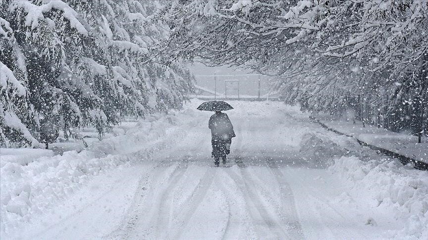
Meteorological services warn of further weather whiplash ahead. Mr Lynden said the weather trend for the rest of this week was for more weather whiplash
, explaining that fronts would switch between west-southwest to northwest and back again throughout the week, bringing heavy rain and cold winds to parts of the regions on some days, and warm temperatures up to 18˚C on other days.
Worth a look

Swiss Police Launch Manhunt After Shooting at Aarau Rave Kills Woman
A 22-year-old woman was killed and five others were injured when gunfire erupted at an early-morning techno rave...

Venezuela’s Delcy Rodriguez Seals 25-year US Oil Deal
Venezuela’s interim president, Delcy Rodriguez, announced a 25-year energy agreement with the U.S.

Bloomberg Foregoes Appeal in Defamation Case Against Singapore Ministers
Bloomberg and its reporter Low De Wei have allowed the appeal deadline to pass without challenging a Singapore...

Zara Tanzania Adventures Wins Africa Adventure Tourism Award for Sixth Time
Zara Tanzania Adventures has secured Africa’s Leading Adventure Tour Operator title at the 2026 World Travel Awards in...