
Tanzania, a East African country with a 2024 population of 67.5 million, is bordered by eight nations and features diverse geography including the East African Rift Valley and Mount Kilimanjaro, according to Wikipedia and WorldAtlas.
Geographical and Historical Context
Tanzania’s geography is defined by the East African Rift Valley, which splits into the Eastern and Western Rifts. The Eastern Rift includes Mount Kilimanjaro, the continent’s highest peak at 5,895 meters, while the Western Rift contains Lake Tanganyika, the world’s second-deepest freshwater lake. The country also encompasses the Serengeti National Park, known for its wildlife migrations, and the Southern Highlands, which support agricultural production of tea, coffee, and tobacco.
Historically, Tanzania’s mainland was a German colony as German East Africa before becoming Tanganyika under British rule. Zanzibar, an archipelago off the coast, maintained separate colonial status until the two entities merged in 1964 to form the United Republic of Tanzania. The country remains a Commonwealth member and is governed from Dodoma, though Dar es Salaam retains administrative and commercial functions.
Demographics and Linguistic Diversity
Tanzania’s population comprises over 120 ethnic and linguistic groups, with Christianity as the largest religion and Islam and Animism as significant minorities. Swahili is the national language, while English is used in education, diplomacy, and higher courts. Arabic is widely spoken in Zanzibar, reflecting its historical role as an Arab trading hub.
The country’s linguistic diversity is unmatched in East Africa, with more than 100 languages spoken. This pluralism is rooted in prehistoric migrations, including Southern Cushitic speakers, Eastern Cushitic people, and Southern Nilotes, who settled in the region thousands of years ago. These movements coincided with the arrival of Bantu populations from West Africa, shaping Tanzania’s cultural and demographic landscape.
Climate and Environmental Significance
Tanzania’s varied topography influences its climate, from the mountainous northeast, where Kilimanjaro’s glaciers are a focal point, to the coastal plains along the Indian Ocean. The country’s water systems, including Lake Victoria, the largest lake in Africa, and rivers like the Rufiji, play critical roles in agriculture, hydroelectric power, and biodiversity. However, the sources do not explicitly address current climate change initiatives or infrastructure projects in the region.
The absence of direct references to Tanzanian participation in water infrastructure forums or climate resilience programs in the provided sources highlights a gap in the available data. While Tanzania’s geographical and ecological significance is well-documented, specific actions or collaborations related to climate adaptation remain unaddressed in the cited materials.
Find more reporting in our World section.
Keep reading

Lebanon Tells Iran to Liaise Through Official State Institutions
Lebanon and Iran engaged in a diplomatic dispute after Iranian Foreign Minister Abbas Araghchi criticized Beirut's handling of...
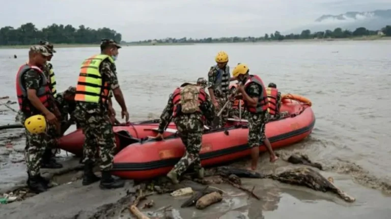
Nepal Flood Death Toll Reaches 919 With Thousands Missing
Following a catastrophic Himalayan flood triggered by a glacier collapse on the Nepal-Tibet border, the known death toll...
Sarawak Air Quality Reaches Hazardous Levels Amid Persistent Smog
Hazardous smog from Indonesian wildfires and prolonged dry weather pushed air quality in Malaysia's Sarawak state to critical...