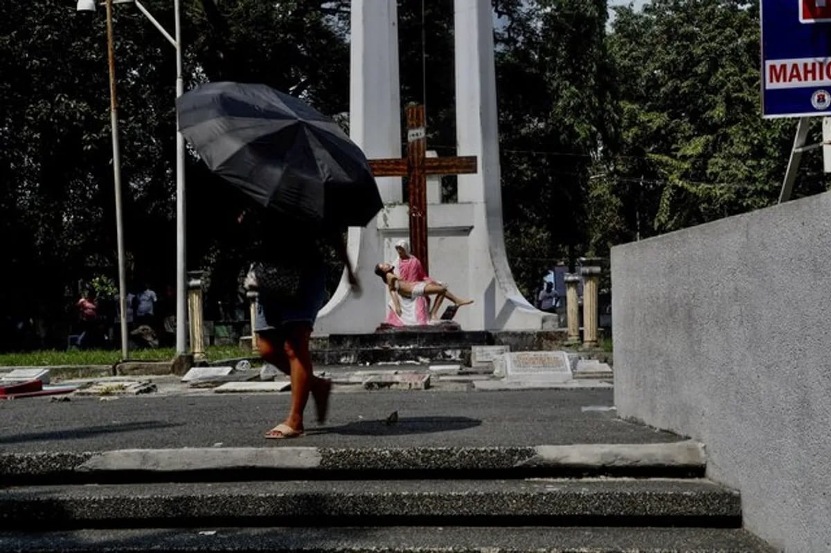
The Philippine Atmospheric, Geophysical and Astronomical Services Administration (PAGASA) reported that the northeast monsoon, or amihan, will bring cloudy skies and light rains to parts of Northern and Central Luzon on Tuesday, November 3, 2026.
Amihan’s Impact on Northern Luzon
The northeast monsoon, or amihan, is expected to bring cloudy skies with isolated light rains to the Ilocos Region, Cordillera Administrative Region (CAR), and Cagayan Valley on November 3, according to PAGASA’s 4 a.m. weather bulletin. The agency noted that the amihan is strengthening due to a surge of northeasterly winds from a high-pressure system over East Asia, which has lowered air temperatures in extreme Northern Luzon. This marks the official start of the amihan season, which is anticipated to dominate the country’s weather patterns in the coming months.
Residents in Batanes, Cagayan province, and Apayao will experience light rains overnight, as the amihan is bringing just light rains overnight here in Batanes, Cagayan province, and Apayao,
according to PAGASA Weather Specialist Benison Estareja. Meanwhile, Metro Manila and other regions may face isolated rain showers or thunderstorms due to localized thunderstorms, with flash floods or landslides possible during severe weather events.
Additional Weather Systems
The shear line, a zone where cold and warm air masses converge, will also influence weather conditions. This system is expected to bring scattered rains and thunderstorms to the Bicol Region, Aurora, and Quezon, as well as to Cagayan, Isabela, and Aurora. The trough of a low-pressure area (LPA) over the Philippine Sea will further contribute to rainfall in Visayas and Mindanao, with PAGASA warning of potential flooding and landslides in affected areas.
𝗧𝗬𝗣𝗛𝗢𝗢𝗡 𝗜𝗡𝗗𝗔𝗬 𝗔𝗣𝗘𝗞𝗧𝗔𝗗𝗢 𝗣𝗔 𝗥𝗜𝗡 𝗔𝗡𝗚 𝗘𝗫𝗧𝗥𝗘𝗠𝗘 𝗡𝗢𝗥𝗧𝗛𝗘𝗥𝗡 𝗟𝗨𝗭𝗢𝗡, 𝗛𝗔𝗕𝗔𝗚𝗔𝗧 𝗣𝗔𝗧𝗨𝗟𝗢𝗬 𝗡𝗔 𝗡𝗔𝗚𝗣𝗔𝗣𝗔𝗨𝗟𝗔𝗡 ⚠️Palayo na ang bagyong #IndayPH, ngunit hagip pa rin nito ang Extreme Northern Luzon na nakakaranas ng masungit… pic.twitter.com/sn04KlW89B
Severe Tropical Storm In-fa, located 1,870 kilometers east of Extreme Northern Luzon, is being monitored outside the Philippine Area of Responsibility (PAR). Its presence could indirectly affect weather patterns, with PAGASA noting that it may recurve over the northern Philippine Sea during its brief stay within the country’s area of responsibility.
El Niño’s Influence
PAGASA warned that the ongoing El Niño event could exacerbate weather extremes, with seasonal rainfall levels projected to drop 20 to 60 per cent below normal across large parts of the country through February 2027. Despite the amihan’s cooling effect, temperatures are expected to remain above average. The agency emphasized that El Niño’s intensity could lead to droughts, water rationing, and reduced hydropower generation.

Public Advisories and Preparedness
PAGASA advised the public to remain vigilant, as the combination of the amihan, shear line, and tropical systems could lead to rough seas and strong winds. Coastal waters in northern Luzon, Aurora, Quezon, and Bicol may see wave heights of up to 3.4 meters, posing risks to small vessels.
Keep reading

Wilma Emmalee Austin of Huntsville, Arkansas Passes Away at 84
A Life of Connection in Northwest Arkansas Wilma Emmalee Austin, a longtime resident of Huntsville, Arkansas, passed away...
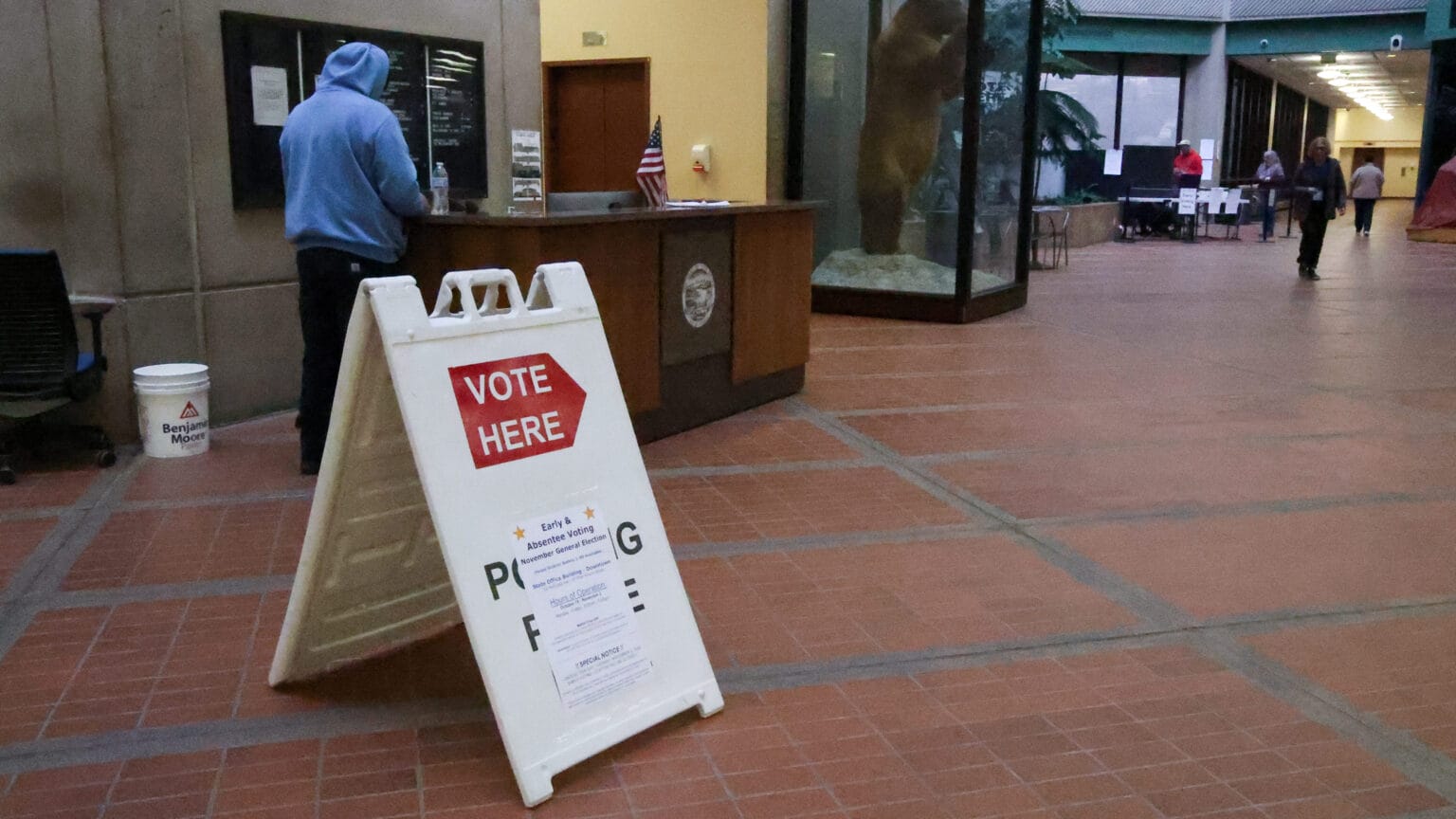
Election Day is Tuesday. Here’s where you can vote in Juneau. – KTOO
Alaska’s Juneau Votes in a Crucible of Change On Tuesday, November 2, 2026, voters in Juneau, Alaska, will...

Jury Convicts Little Rock Woman of Conspiracy to Commit Sex Trafficking of a Minor
Federal Jury Convicts Little Rock Woman in Sex Trafficking Conspiracy In a case that underscores the relentless efforts...

Women’s Basketball opens with Mississippi State in Starkville – University of North Alabama Athletics
North Alabama Women’s Basketball Faces SEC Powerhouse Mississippi State in Starkville The University of North Alabama women’s basketball...