
Temperatures Tumble After a Week of Unseasonable Warmth
Residents in the Tallahassee region are preparing for a sharp shift in weather as the unseasonable warmth that defined the work week begins to dissipate. According to the latest data from WCTV, regional temperatures have consistently hovered approximately 20 degrees above the seasonal average over the past few days. While the work week saw conditions that felt more like late summer than mid-November, that pattern is officially breaking tonight.
Meteorologist Cameron Aaron reports that the shift toward more traditional November conditions is already underway. For those heading out this evening or planning activities through Sunday night, the transition will be noticeable. The region is expected to remain dry under mostly clear skies, but the mercury will drop into the mid-to-upper 40s.
The Sunday Transition and Monday Outlook
Sunday will offer a brief, pleasant reprieve before the more significant cold front arrives later next week. The forecast suggests a stretch of mostly sunny weather with daytime highs reaching the mid-to-upper 70s. While these temperatures remain near the historical averages for this time of year, they represent a cooling trend compared to the highs experienced earlier in the week.
The new work week begins with a continuation of this stable, dry pattern. Monday is expected to remain mostly sunny, with highs likely to reach the upper 70s, though a few isolated spots could hit the low 80s. Tuesday brings a slight increase in cloud cover as the region remains largely dry, with highs again reaching the upper 70s. While a stray shower is possible by Tuesday night, meteorologists indicate that any rainfall is expected to be minimal.
A Significant Cold Front Approaches
The most dramatic change in the regional climate is slated for the end of next week. Meteorologists are tracking what could be the strongest cold front of the season thus far. By Wednesday, isolated showers may develop, though the primary impact of the system is expected to arrive as the week concludes.
We will keep an eye on it.
Thursday serves as the turning point for the local weather pattern. Temperatures are projected to top out in the low 70s as a breezy wind moves into the area, bringing a mix of sun and clouds. The real impact, however, will be felt on Friday. As the front clears the region, temperatures are expected to plummet. Highs on Friday will likely struggle to reach the mid-60s, while overnight lows are predicted to drop into the low 40s. By next weekend, some areas within the region could see temperatures dipping into the upper 30s.
Preparation for the Seasonal Shift
For residents, the primary takeaway is a move toward more traditional fall attire. With the overnight lows consistently sliding into the 40s and potentially the 30s as the weekend approaches, the mild nights that characterized early November are coming to a close.
The WCTV First Alert Weather team continues to monitor the progression of this front. Residents looking for real-time updates can access the latest radar imagery and push alerts via the WCTV First Alert Weather app, or by following their official updates on Facebook and X.
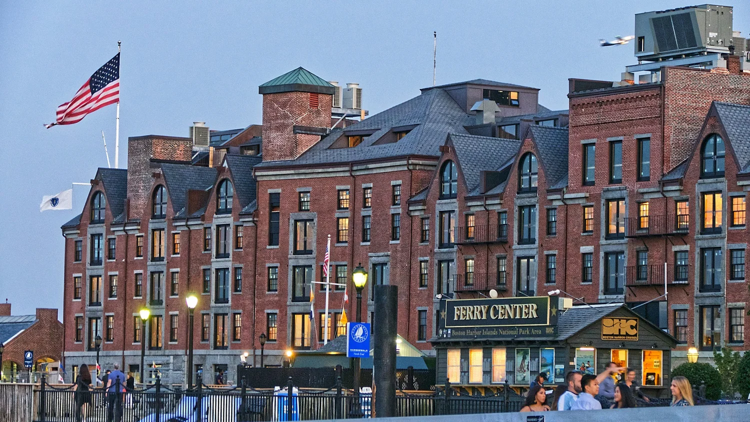
Boston Modernizes Article 80 to Streamline Large-Scale Development Review
Boston Raises Review Thresholds to Accelerate Development Boston is recalibrating its development review process to address a nearly...
H4H Offers Blood Pressure Screening for Clinical Volunteer Hours
Medical Volunteers Coordinate Saturday Blood Pressure Screening in Foggy Bottom Students and volunteers participating in the H4H initiative...

Alabama defeats LSU in Baton Rouge to boost playoff playoff odds
Alabama’s Statement Win in Baton Rouge Reshapes the Playoff Picture The Alabama Crimson Tide arrived in Baton Rouge...

GW, Hoover, Frankfort and Tug Valley secure top playoff seeds
George Washington, Hoover, Frankfort, and Tug Valley Secure Top Playoff Seeds The high school football landscape has shifted...