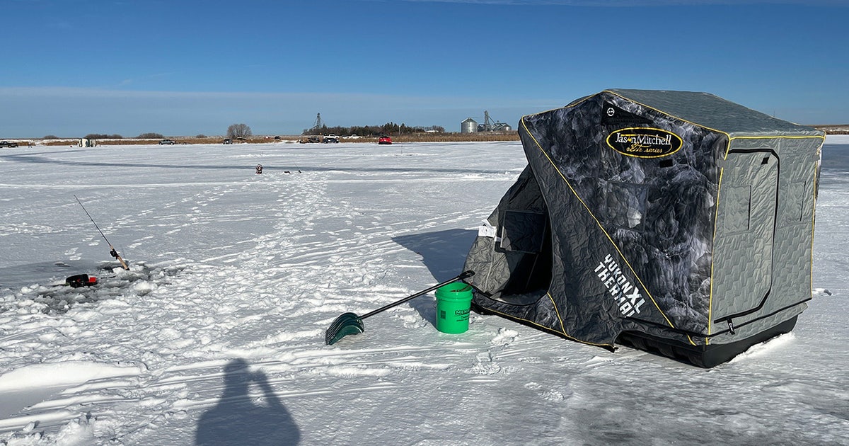
Minnesota’s upcoming ice fishing season faces a tug-of-war between tropical El Niño patterns and a potentially rare, early Arctic disruption. While historical trends point toward delayed freeze-ups and thinner ice, meteorologists warn that a volatile polar vortex breakdown could override these mild conditions, creating unpredictable and dangerous ice structures across the state’s lakes.
The El Niño Baseline
For generations of anglers, the winter calendar is written on the hard water, but the influence of El Niño often acts as a spoiler for those routines. As reported by FOX 9, this atmospheric phenomenon typically serves as the primary driver for Minnesota’s milder winters. The immediate reality for early November confirms this trend, with many local lakes maintaining water temperatures in the mid-50s, signaling a delayed start to the ice-up process.
In a standard El Niño year, the season is not just delayed; it is structurally compromised. The median ice-out dates for metro lakes like Lake Minnetonka usually fall around April 13, with northern basins like Leech Lake following by April 28. Under these tropical conditions, those dates often compress. Instead of building the thick, rock-solid foundations that allow for heavy equipment, the state’s waters often struggle to exceed a 11-to-17-inch range. Perhaps most concerning for those who head out early is the volatility of the top layer, where mild thaws create brittle, honeycombed ice that makes shorelines treacherous and foot traffic a gamble.
The Arctic Wild Card
While the Pacific warms, a phenomenon known as Sudden Stratospheric Warming (SSW) can rip up the script. Think of the polar vortex as a massive spinning top of freezing air locked high above the North Pole. Under normal circumstances, it acts like a closed freezer door. However, powerful atmospheric energy waves from the lower atmosphere can surge upward and slam into that vortex, forcing a rapid, high-altitude temperature spike that stalls the barrier.
When that freezer door swings wide, sub-zero Arctic air spills directly into the Upper Midwest. While SSW events happen about six times per decade, a major breakdown before January is exceptionally rare. History shows the earliest major breakdowns occurred on November 28, in both 1968 and 2009. Current global weather models indicate we may be tracking toward a record-breaking early event this year, setting up a high-stakes collision between tropical warmth and a fractured polar vortex.
Lessons from the 2009 Blueprint
The winter of 2009–2010 remains the only modern parallel for this specific atmospheric tug-of-war. That season serves as a cautionary tale of how a single weather event can override global trends. Following an early polar vortex collapse in late November 2009, the Upper Midwest experienced a bitter deep freeze that lasted through February. Temperatures hovered 1°F to 3°F below average, which should have been ideal for building ice.
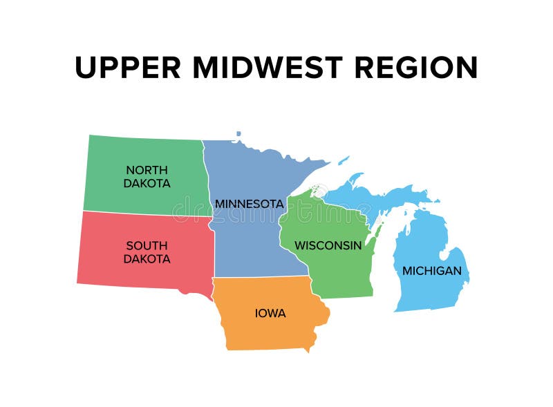
Instead, a massive Christmas Eve blizzard buried the lakes under a thick, insulating blanket of snow. This snowpack prevented the growth of structural, clear ice and forced lake water to bubble up through the surface, creating 18 to 22 inches of slushy, weak white ice. When the polar block dissolved in March 2010, temperatures soared 7.9°F above average, triggering a rapid flash melt. Within a five-day window between April 2 and April 7, the structurally flawed ice sheets on major basins from Minnetonka to Vermilion shattered, ending the season abruptly.
Evaluating Safety on the Hard Water
For the modern angler, the lesson is clear: thickness numbers do not tell the whole story. The structural integrity of the ice is what matters when you are miles from shore. Clear, blue ice formed during steady, uninsulated cold snaps possesses roughly twice the load-bearing capacity of opaque, white ice formed from slush or rain crusts.
The Minnesota Department of Natural Resources maintains an Ice-Out Database that serves as an essential tool for tracking these trends. As we move through the coming weeks, the most important variable to watch is the timing and volume of the first major snowfall. A heavy snow dump immediately after a freeze is an angler’s worst enemy, as it insulates the water and sets the stage for the slush-heavy, unpredictable conditions that defined the 2010 melt. Until the ice settles into a stable pattern, caution remains the only reliable strategy on the water.
Worth a look

Republican John Sununu Blames Trump for Double-Digit Senate Defeat
John Sununu Blames President Trump for Senate Defeat Former New Hampshire Senator John Sununu is pointing directly at...

Tupac Shakur Murder Trial Attorney Michael Sanft Dies
Las Vegas Legal Community Mourns Attorney Michael Sanft Michael Sanft, a prominent Las Vegas attorney known for his...

Joshua Cabe Billings Passes Away in Payson Utah
Joshua Cabe Billings: A Life of Skill and Community in Payson Joshua Cabe Billings, a man known to...

Kansas City Tour Owner Launches New Holiday Light Guide Website
Kansas City launches digital map for holiday light enthusiasts A newly launched website is centralizing holiday light displays...