
A system sitting a few hundred miles southeast of the Big Island is currently the focal point of the National Hurricane Center’s tropical monitoring. As of Friday morning, forecasters have assigned a 90 percent probability that this area of low pressure will develop into a tropical depression by the end of the day. This level of confidence, coming 48 hours before the expected formation, represents a high degree of certainty for tropical development in the Central Pacific this late in the season.
Ryan Hall, Y’all reported that while the system is forecast to track west-northwest, current projections keep it south of the main Hawaiian Islands. For residents and maritime interests in the region, the primary concern remains the potential for increased swell and erratic winds as the organization of the system progresses. The National Hurricane Center notes that environmental conditions—specifically warm sea surface temperatures and low vertical wind shear—are currently conducive to continued development.
Soggy Conditions Persist Across Southeastern New England
After an 18-day dry spell, southeastern New England is contending with a slow-moving trough that has brought a return of significant rainfall. The Weather Prediction Center (WPC) has placed much of the region, including the Boston metropolitan area, eastern Connecticut, and far eastern Long Island, under a Slight Risk of excessive rainfall extending into Saturday morning.
While this event lacks the intensity of the flooding that impacted north Georgia and southeastern Tennessee earlier this week—where the Toccoa River reached a record crest of 18.05 feet in McCaysville—the local impact is distinct. Because the ground in Rhode Island and eastern Massachusetts remains saturated from previous storms, storm drains and small streams have a reduced capacity to handle additional runoff. Commuters in the Boston area should anticipate standing water on roadways and potential delays through Saturday morning.
Isolated Severe Weather Potential Along the Atlantic Coast
A separate weather system, currently moving across the central Appalachians and merging with an upper-level low over the Great Lakes, has prompted the Storm Prediction Center to issue a Marginal Risk for severe storms along the Carolina coast and the Mid-Atlantic. This risk area encompasses Raleigh, Norfolk, and parts of the Delmarva Peninsula.

The probability of severe weather remains low, with the Storm Prediction Center citing a 2 percent chance for tornadoes and a 5 percent chance for damaging wind gusts. These figures place the event at Level 1 on the severity scale. While this setup is unlikely to cause widespread disruption, the potential for an isolated, quick-developing storm remains a possibility for those along the immediate coast during the day.
Geomagnetic Activity and Fire Weather Risks
Beyond the immediate rain and tropical threats, the weekend forecast includes a shift in space weather and localized fire hazards. The Space Weather Prediction Center (SWPC) has forecast G1 Minor geomagnetic storming for November 6–8, with a potential increase to G2 Moderate levels on November 7 and 8. This activity is driven by a high-speed stream from a coronal hole and flare activity from active regions 4565 and 4566. Observers in the northern United States, particularly in New England and the upper Midwest, may have an opportunity to see the aurora after dark.

Simultaneously, Southern California faces an elevated fire weather threat on Saturday. Santa Ana winds are expected to impact the San Gabriel, Santa Monica, and Santa Susana mountains, with sustained winds near 20 mph and gusts ranging from 30 to 40 mph. Coupled with relative humidity levels forecasted to drop between 15 and 20 percent, these conditions create a heightened risk for fire development on already dry slopes. Further inland, southeastern Arizona is under a Marginal risk for excessive rainfall on Saturday, with isolated thunderstorms expected to produce enough moisture to cause flash flooding in desert drainages.
For those tracking these developments, the following links provide official data from government agencies:
Related reading

The Honolulu City Council has selected Councilmember Tyler Dos Santos-Tam as its new chair, marking
Tyler Dos Santos-Tam to Lead Honolulu City Council The Honolulu City Council has selected Councilmember Tyler Dos Santos-Tam...
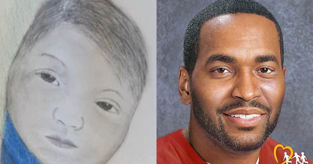
Search continues for infant abducted from Atlanta home 48 years ago
For forty-eight years, Donna Green has lived in a space between memory and mystery. In November 1978, she...

Delaware Police Issue Alerts for Wanted and Homeless Sex Offenders
Delaware State Police Update Registry for Homeless and Wanted Sex Offenders On Friday, November 6, 2026, the Delaware...
Sen. Chris Murphy Discharged From Hospital After Suffering Hemorrhagic Stroke
Senator Chris Murphy’s Path to Recovery Following Hemorrhagic Stroke Democratic Senator Chris Murphy of Connecticut has been discharged...