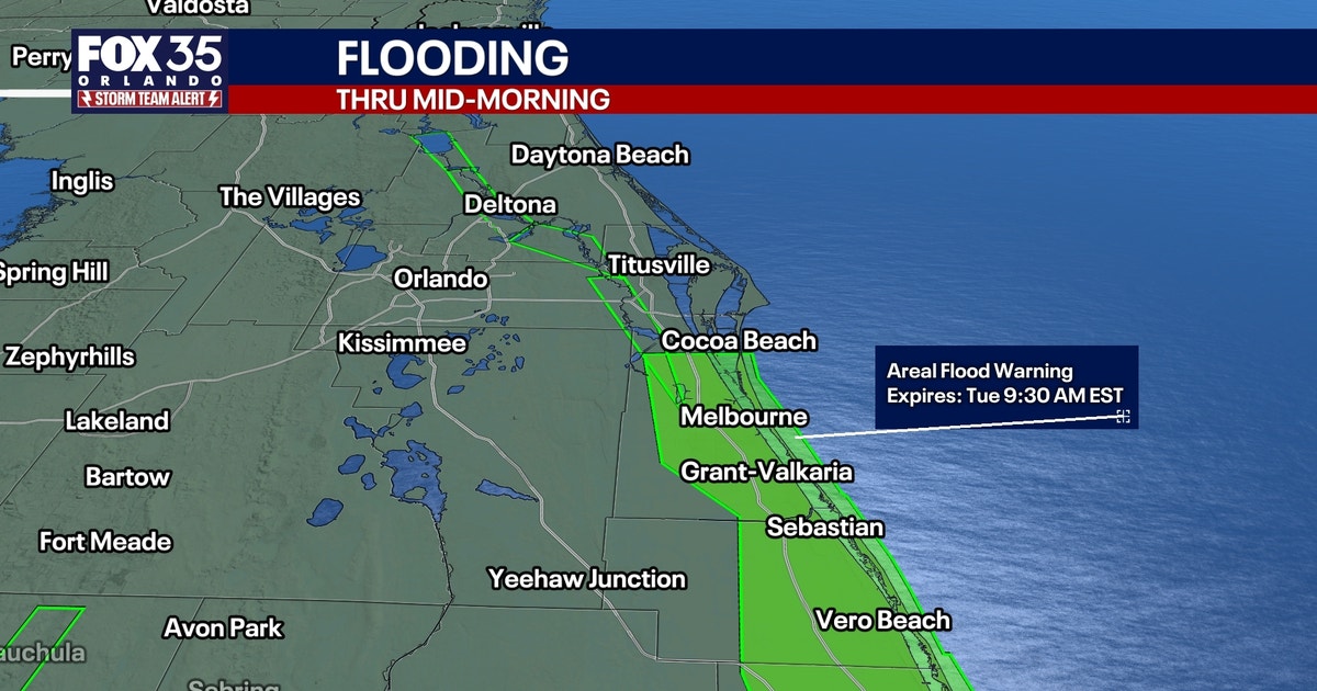
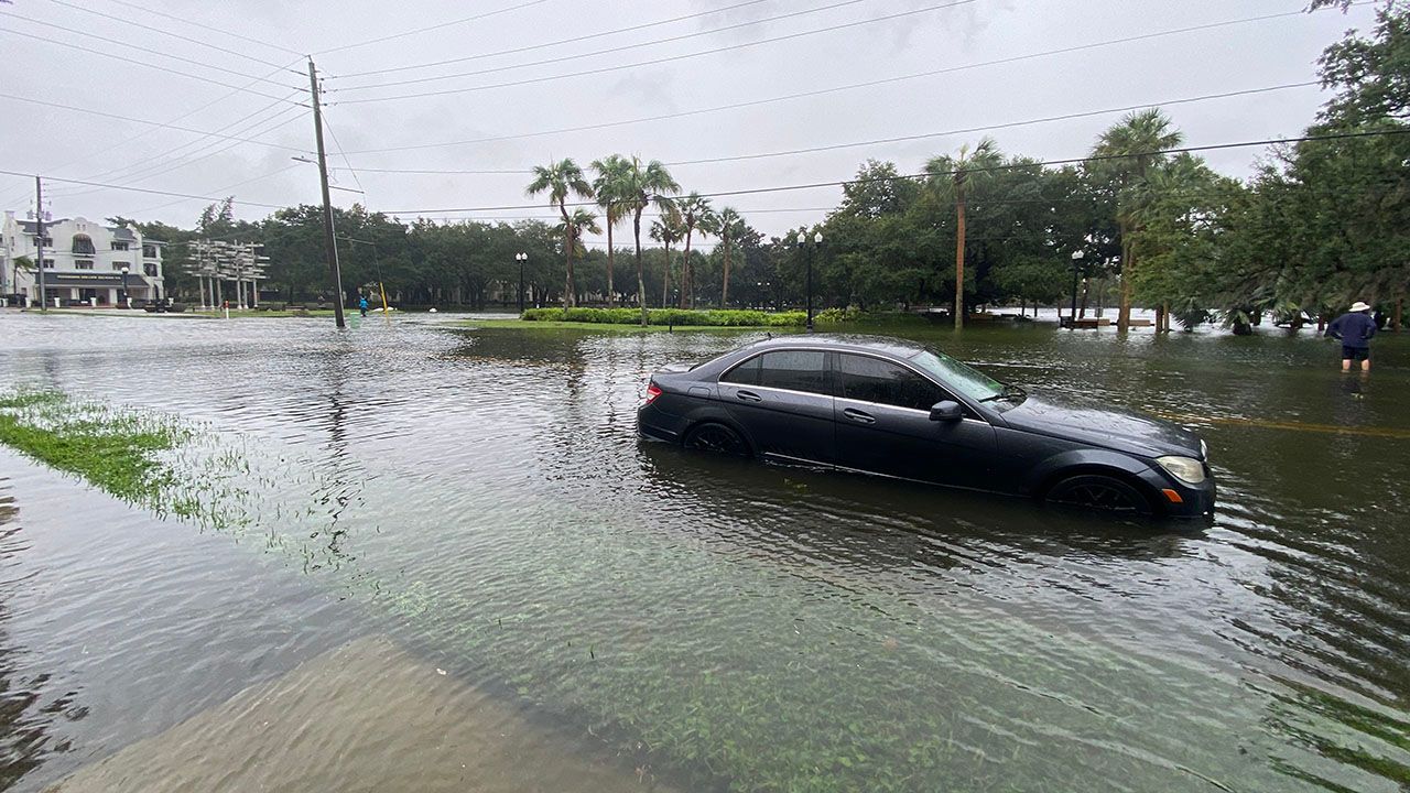
Central Florida voters heading to the polls today face more than just the political landscape, as lingering rainfall and ongoing flood concerns continue to impact the region. Following a day of widespread, catastrophic flooding on Monday, the FOX 35 Storm Team reports that while the most intense precipitation has subsided, the atmosphere remains unstable.
Meteorologist Brooks Garner of the FOX 35 Storm Team notes that scattered downpours are expected to persist throughout Election Day. Residents should prepare for a 50% to 60% chance of rain. While many areas will likely see less than an inch of accumulation, the risk remains for isolated pockets to receive an additional 1.5 to 2.5 inches of rain, which could exacerbate existing flood conditions.
Flood Watch and Travel Delays
A Flood Watch remains in effect for coastal counties and Okeechobee County until 10 a.m. Tuesday. Because floodwaters are expected to be slow to recede, officials are urging residents to allow for significant extra travel time when heading to polling locations. Beyond the inland flooding, the Atlantic coastline is experiencing dangerous rip currents and rough surf, with seas measured between 5 and 7 feet today. The National Weather Service advises against entering the ocean under these conditions.
The immediate outlook for the rest of the work week shows a gradual transition toward drier conditions. By Wednesday, the atmosphere will begin to dry out, with rain chances dropping to 20% along the coast and 30% to 50% inland. Temperatures are expected to remain steady, with highs reaching into the lower to middle 80s throughout the week.
Dryer Conditions and Tropical Monitoring
The latter half of the week, from Thursday through the weekend, is trending considerably drier. Meteorologists expect rain chances to fall to 20% or less, accompanied by partly to mostly sunny skies and a gradual decrease in humidity. While a weak front is anticipated to pass through on Friday or Saturday, it is not expected to bring significant cooling to the area.
Looking further ahead, a stronger cold front is projected to arrive early next week. This system is expected to bring a brief round of showers followed by a more noticeable shift in temperatures. Forecast models suggest that by next Tuesday, daytime highs will remain below 80 degrees, with overnight lows potentially dropping into the 50s.
In the tropics, the National Hurricane Center is currently monitoring an area northeast of the Bahamas for potential subtropical development. While the system holds a 30% chance of formation over the next seven days, current projections indicate no direct threat to Florida. The system may, however, contribute to another round of rough surf along the Atlantic coast this weekend.
Related reading

Boise State vs. Colorado State: How to Watch, Time, and Game Info
Boise State University travels to Fort Collins this Friday, November 7, to face Colorado State University at Canvas...

Central Florida Faces heavy rainfall and school closures on Election Day
Central Florida Faces Election Day Deluge November is historically one of the driest months in Central Florida, a...

NY Rangers Reverse Roster Move: Jaroslav Chmelař Recalled, Taylor Raddysh Reassigned
Rangers Reverse Course: Chmelař Returns to New York as Raddysh Heads to Hartford The New York Rangers have...

Four standout dishes define the current Denver food scene
A French Staple and New Denver Flavors The Denver food scene is currently defined by a restless energy,...