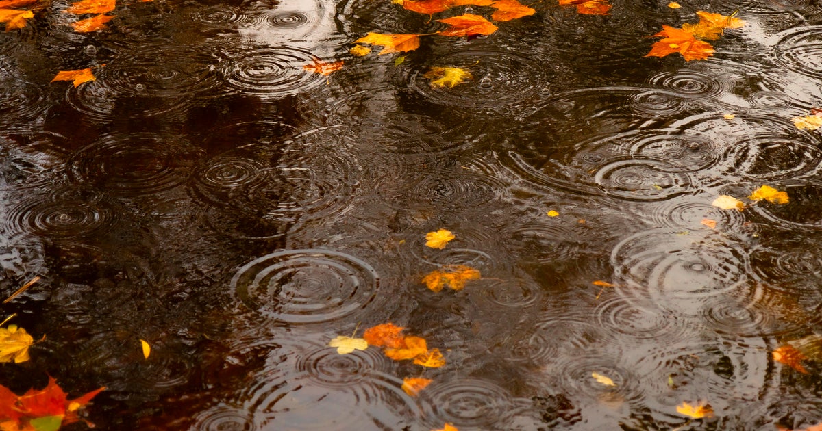
A powerful super El Niño is driving unseasonably warm and wet weather across Minnesota this November, with experts warning the pattern could persist through January. The phenomenon has already pushed regional temperatures 20 degrees above normal, complicating the typical start to the Midwestern winter and delaying the season’s first significant freeze.
The Pacific Ocean is currently exerting a profound influence on the Upper Midwest. According to reports from CBS News, the ongoing super El Niño has funneled record-breaking moisture into Minnesota, resulting in some communities receiving as much as 4 inches of rain in the first few days of November. This isn’t just a localized anomaly; it is part of a broader, global climate shift that is disrupting long-standing meteorological expectations for the region.
Kenny Blumenfeld, a climatologist tracking these shifts, characterizes the current state as a significant departure from historical norms.
It’s basically the greatest climate warming event of our lifetime, and of the lifetimes of anyone we’re related to. And it’s also quite likely producing record amounts of moisture. And so when you can tap into that moisture, it can fuel really bizarre behaving weather systems. And that’s exactly what happened.
The data supports this assessment. October was recorded as the third warmest on record for the Twin Cities, continuing a trend of mild weather that defined the first two-thirds of the meteorological fall. While the Twin Cities finally saw its first freeze of the season on Friday morning, that event arrived as the third latest on record, underscoring just how far behind the typical seasonal cooling curve the area currently sits.
The Mechanics of a Mild Winter
The Climate Prediction Center indicates that the region is effectively locked into this El Niño pattern through the winter months. For residents, this raises a central question: how long can this warmth hold? The answer, according to Blumenfeld, is tied directly to the ground cover.
A "Godzilla" El Niño is brewing in the Pacific! 🦖 What does a historic Super El Niño mean for Minnesota this year? Think late lake ice, warmer temps, and a potential "Des Moines winter" with less snow for the Twin Cities. 📉❄️ Full video: https://t.co/mviBGVF87W
The shape of those mild conditions is really going to be determined by snowfall. You just can’t be as warm when there’s snow on the ground. And so, and the deeper the snow, the greater that effect is.
Without a consistent snowpack to reflect sunlight and insulate the ground, the surface remains warmer, creating a feedback loop that sustains higher-than-average temperatures. If the current moisture manifests as rain rather than snow, the lack of an insulating white blanket will likely allow the warmth to linger well into the new year. Current outlooks suggest that temperatures across Minnesota are likely to remain above average at least through the end of January.
Economic and Civic Stakes
The shift in weather patterns carries real-world consequences for the state’s infrastructure and economy. From a municipal standpoint, a delayed winter freeze and reduced snowfall can be a double-edged sword. While reduced demand for snow removal services may offer temporary relief to local budgets, the agricultural and ecological impacts are more complex.
Farmers and land managers in the region often rely on the predictable cycle of deep freezes to manage soil health and pest populations. When those cycles are interrupted, the long-term ripple effects on the next growing season remain a subject of ongoing concern. Furthermore, the reliance on Pacific-driven moisture means that the weather systems affecting the state are behaving in ways that challenge traditional forecasting models.
As the state moves toward the heart of winter, the disparity between what Minnesotans expect—a season defined by sub-zero temperatures and heavy snow—and what the current climate reality is delivering, continues to widen. Whether this super El Niño will ultimately break or reinforce these records depends on the next sixty days of atmospheric data. For now, the region remains in a unique, historically warm position, waiting to see if the winter will eventually find its traditional footing or continue its current, unseasonably mild trajectory.
Worth a look

OKC Tree Lighting Festival Kicks Off Downtown Holiday Season
Downtown Oklahoma City Prepares for 25th Annual Tree Lighting The holiday season in Oklahoma City officially begins next...

Columbus Restaurants and Breweries Honor Ohio State Football Legends on Menus
The Flavor of Football: How Columbus Menus Immortalize Buckeye Icons If you spend enough time in Columbus, you...

Gonzaga hosts New Mexico State in home opener after Purdue win
The transition from the bright lights of Las Vegas to the familiar floor of The Kennel is rarely...
World Atlas identifies 9 New England towns essential to regional history
The Enduring Geography of New England’s Historic Towns New England’s identity is often measured not by its metropolitan...