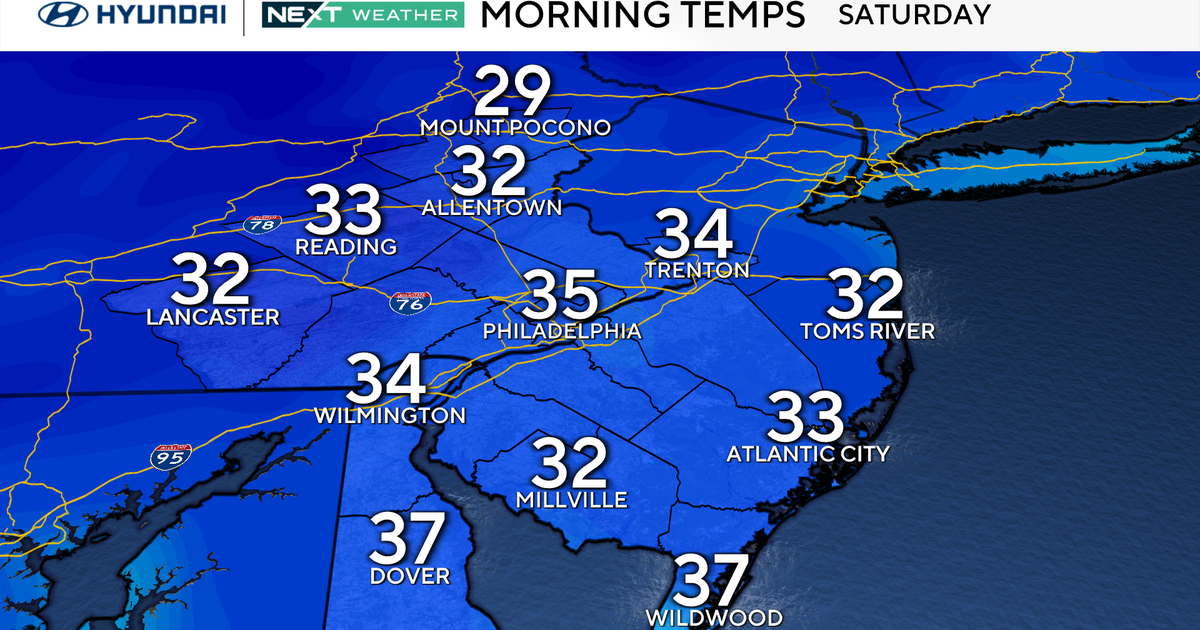
Residents across the Philadelphia region woke up to chilly conditions as cold air moved into the area, bringing below-average temperatures in the mid- to upper 40s, wind gusts of 20 to 30 mph, and wind chills in the 30s all day, according to CBS News Philadelphia.
Sturdy coats and scarves are necessary for anyone heading outdoors today. Temperatures are running below average, accompanied by occasional lake-effect flurries or sprinkles across the Lehigh Valley and Poconos.
Dry Winds and Clouds Precede Warmer Sunny Skies
For the remainder of the area, conditions remain dry and cloudy, meaning sunglasses and umbrellas can stay behind. The persistent winds are whipping from the northwest at 20 to 30 mph, keeping wind chills firmly in the 30s.
Relief from the cold is on the horizon. A dominant ridge of high pressure returns to the eastern U.S. on Monday, bringing sunny skies that will last into next weekend.
The 7-Day Outlook
Temperatures will climb 5 to 10 degrees above average next week, reaching the 60s compared to the normal high of 56 degrees for this time of year. Residents can take advantage of the pleasant stretch to finish fall cleanup, hang holiday lights, and put out festive decorations.
- Saturday: Morning freeze, high 48, low 35
- Sunday: Sun, clouds, windy, high 52, low 39
- Monday: Sunny, high 54, low 38
- Tuesday: Seasonable, high 57, low 36
- Wednesday: Milder, high 63, low 37
- Thursday: Warm, high 66, low 36
- Friday: Sunny, high 65, low 37
Get the latest weather info on the CBS News Philadelphia app.
Related reading

Jensen Huang Lost His Mind’: How AI’s Smartest Man Fell for the World’s Oldest Trick – The Guardian
“The honeypot style trap is as old as the earth itself,” said Randy Watt, head of the corporate...

Chile’s José Antonio Kast Faces Protests and Low Approval Ratings
Chile’s ultraconservative president, José Antonio Kast, is facing a political crisis eight months into his term, as his...
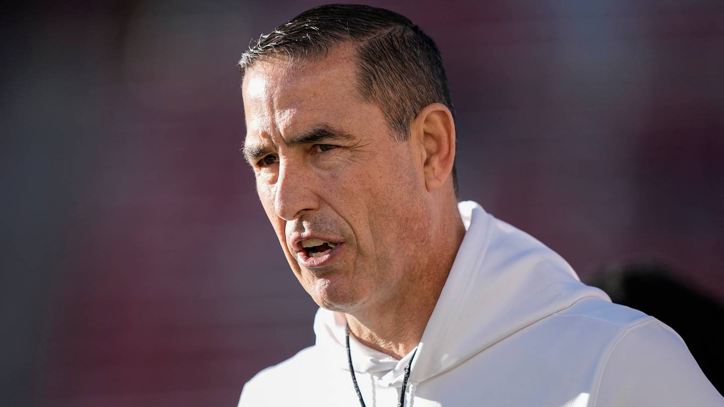
Wisconsin Badgers On SI Questions Fickell’s Future After Loss
Wisconsin head coach Luke Fickell finds his program at a critical juncture following a 39-yard catch-and-run touchdown and...

Charleston Defeats Hofstra as Matt Lenert Scores Twice
Hofstra fell to Charleston as Matt Lenert netted a pair and Charlie Duske preserved the shutout in goal....