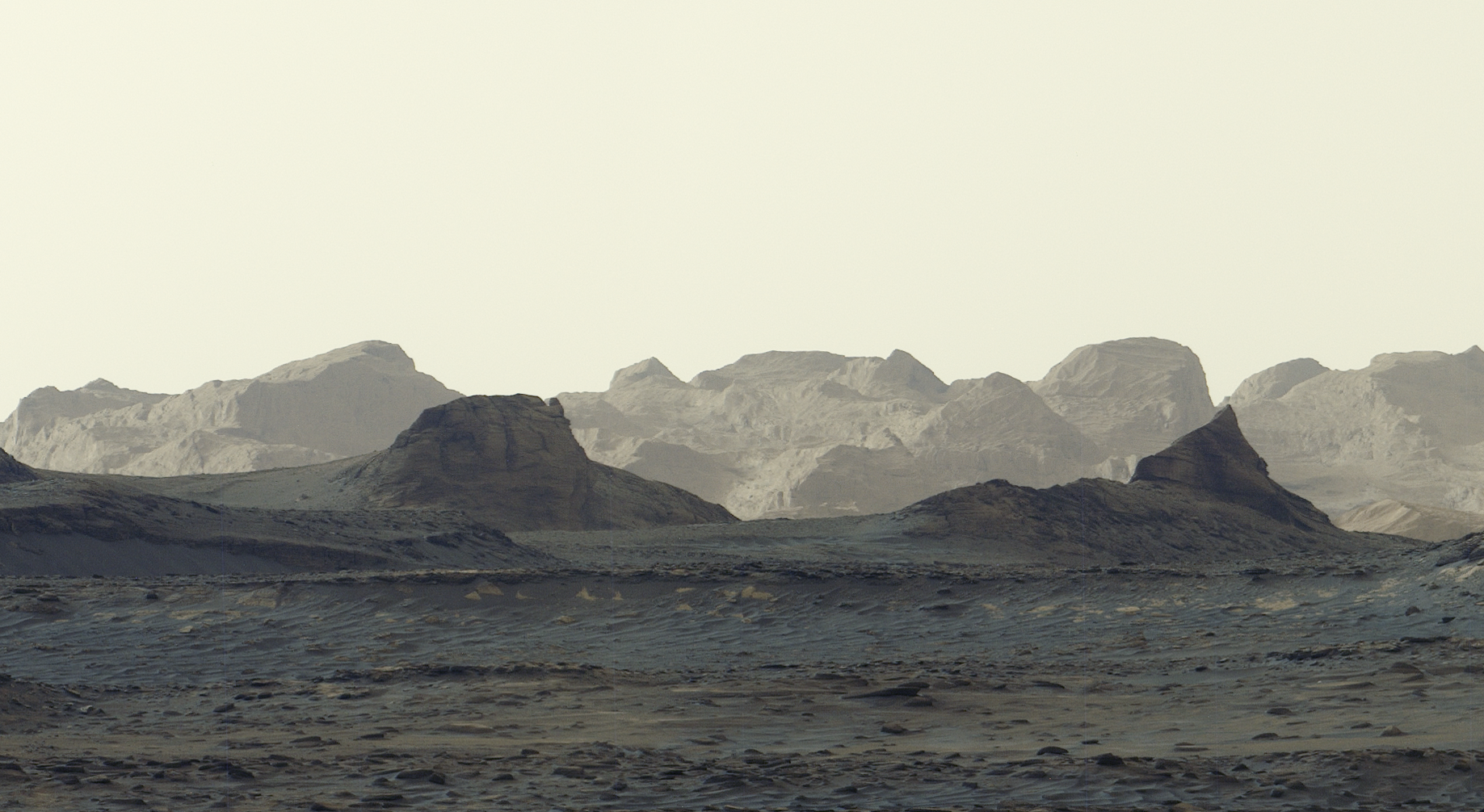
NASA’s Curiosity rover has captured its most detailed panorama of distant Martian cliffs yet, photographing wind-carved yardangs under early morning light. The rare, unprocessed image reveals sharp blue hues and prompts new questions about whether the mysterious geological layers were formed by ancient volcanic ash.
Snapped on August 11, 2026, during the rover’s 4,982nd Martian day, the six-image panorama shows a dark blue foreground giving way to bright morning light illuminating distant crags. The image preserves the true early morning appearance because mission engineers processed the Mastcam frames without the usual white balancing that strips away natural color tints according to NASA’s Jet Propulsion Laboratory.
Mars looks a little closer to home in a newly released vista from Gale Crater, though its palette remains distinctly alien. This scene has a wildness that reminds me of a road trip through Monument Valley, Arizona
said Ashwin Vasavada, Curiosity project scientist at NASA’s Jet Propulsion Laboratory in California. You can almost feel the silence and the endless open space under the sky. But as familiar as that sounds, the sky is orange and the sunrise has shades of blue. It’s like Earth, but it’s definitely Mars.
Curiosity Spots Yardangs in Gale Crater
The bright formations catching the morning sun are steep ridges of bedrock known as yardangs.
The yardang layer looks out of place.
Ashwin Vasavada, Curiosity project scientist of NASA’s Jet Propulsion Laboratory
The strange layer likely formed about 3 billion years ago. Scientists theorize that wind-blown sediment or volcanic ash blew into the crater and hardened into rock before eons of wind carved it into ridges. Operating in the second year of its fifth extended mission, the rover is managed by Caltech in Pasadena, California, on behalf of the agency’s Science Mission Directorate in Washington as part of the Mars Exploration Program portfolio.
Malin Space Science Systems in San Diego built and operates the Mastcam instrument that captured the six individual exposures. The mission has a long history of studying the ancient lakes and streams that once filled the crater during a period when Mars was warmer and wetter. As the water receded, it left behind salty mineral deposits like sulfates and carbonates before wind erosion began shaping the terrain.
Cliffs Await Curiosity in 2027
The photographic milestone arrives just as the rover accomplishes a major physical one. The vehicle is currently operating in the second year of its fifth extended mission, driving across sulfate- and carbonate-rich layers that document the planet’s ancient drying process.
Mission scientists project that Curiosity will finally roll up to the base of the yardang layer sometime in 2027. Once arrived, the rover will deploy its robotic arm and onboard instruments to collect direct data and determine whether ancient volcanic ash truly built the mysterious cliffs.
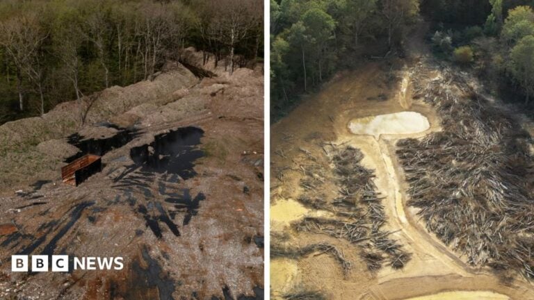
£15m Spent to Clean Hoads Wood Illegal Waste Site
Roughly 39,500 tonnes of illegally dumped waste have been removed from Hoads Wood in Kent following a 15-month,...
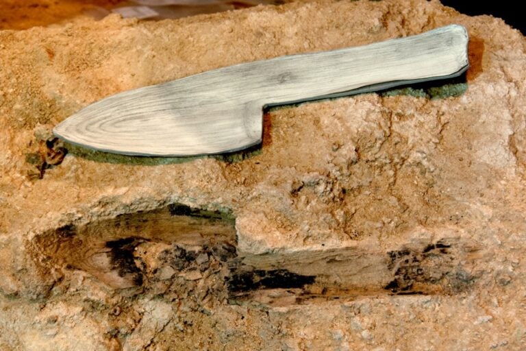
Abric Romaní Finds Reveal Advanced Neanderthal Woodworking Skills
Archaeologists at the Abric Romaní rock shelter near Barcelona, Spain, have recovered nearly 600 wooden artifacts dating from...
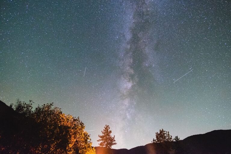
North American Stargazers to See Saturn, Meteor Showers, and Moon in October 2026
October 2026 brings North American stargazers an unusually favorable combination of clear skies, comfortable autumn temperatures, and a...

Researchers Use Reef Soundscapes to Boost Coral Larvae Settlement
Marine researchers are deploying underwater speakers to play recordings of healthy reefs to coral larvae across the Caribbean...