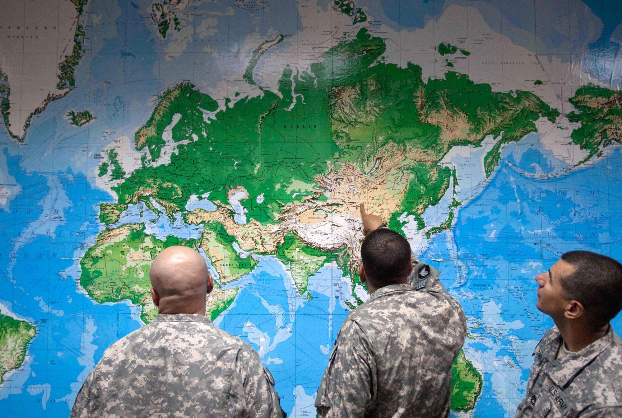
The resolution, titled the Correct the Map
resolution, was sponsored by Togo and backed by members of the African Union.
UN General Assembly Endorses Equal Earth Projection
The measure passed with 164 member states voting in favor. The United States was the only nation to vote against the resolution, while six other countries—Serbia, Estonia, Georgia, Lithuania, Moldova, and Ukraine—abstained. France and the United Kingdom supported the resolution, with France announcing it would stop using the traditional map.
The vote encourages governments and institutions globally to replace the traditional Mercator map with the Equal Earth projection. According to the United Nations, the resolution is non-binding, does not ban the Mercator projection, and does not impose a mandatory replacement, but merely encourages adoption of the alternative.
Cartographic Distortions and the Mercator Map
Designed in 1569 by Flemish cartographer Gerardus Mercator, the traditional Mercator map was created to assist European navigators and explorers at sea. While it preserves shapes and angles by projecting the three-dimensional Earth onto a flat surface, geographers note that it severely distorts the relative sizes of landmasses.
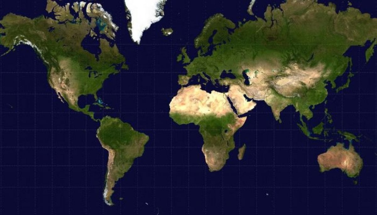
The projection enlarges regions near the poles, such as North America, Europe, and Greenland, while shrinking equatorial regions including Africa and South America. On the Mercator map, Greenland and Africa appear roughly comparable in size, whereas in reality, Africa is 14 times larger. Campaigners from #CorrectTheMap noted that landmasses such as the United States, China, India, Japan, Mexico, and much of Europe could fit inside Africa with land to spare.
Geographers argue that the traditional map has very limited utility outside of maritime navigation.
Arguments for the Equal Earth Projection
Introduced by a group of cartographers in 2018, the Equal Earth projection follows the Earth’s curvature to maintain the true proportions and relative surface areas of continents while keeping shapes close to how they appear on a globe. Under this projection, Africa, Latin America, South Asia, and Oceania appear larger.
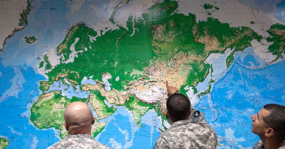
Supporters argued that map distortions have long served as a narrative issue that dampens the perceived development needs, economic potential, and vast resources of equatorial regions.
They guide education, nourish the imagination, and influence collective perceptions.
Dussey also remarked that a fair world begins with a fair map.
French Foreign Minister Jean-Noël Barrot praised the decision on X, writing, Changing the map obviously doesn’t change the world. But correcting a representation that distorts it is already an act of truth.
Africa No Filter, one of the lead advocacy groups behind the campaign, welcomed the resolution.
Opposition and International Debate
The United States strongly opposed the resolution, criticizing the General Assembly for debating historical cartography instead of pressing global concerns. Yaryna Ferencevych, a U.S. representative at the United Nations, criticized the debate during proceedings.
Despite the U.S. opposition, the African Union—whose 54 member states previously adopted the projection in February—and global advocates maintained that updating geographic standards is a vital step toward global equity and accurate education.
Related reading
Christa Pike Survives Botched Tennessee Execution Attempt
Death row inmate Christa Pike survived a botched execution attempt in Tennessee after staff struggled with intravenous lines,...

Wicknell Chivayo Gave Sugar Sugar Unregistered Toyota Fortuner
Zimbabwean businessman Wicknell Chivayo’s death has left a tangled web of unpaid car dealer debts and unresolved gifts,...
Haines hit in critical condition
Independent Australian MP Helen Haines remains in critical condition following a deliberate car attack outside her Wangaratta office...
UAE’s Nusseibeh Joins Race for UN Chief
Senior United Arab Emirates diplomat Lana Nusseibeh entered the contest for United Nations secretary-general on October 21, 2026,...