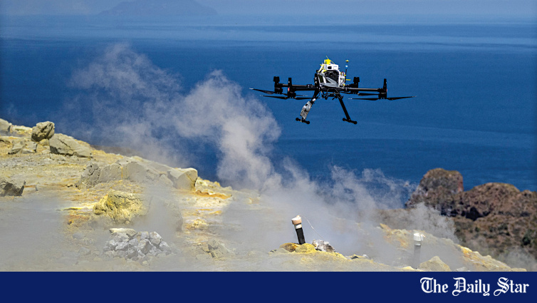
Researchers are increasingly using specialized drones to monitor volcanic activity and predict eruptions, replacing hazardous, manual gas-sampling missions. By capturing chemical data from volcanic plumes, these unmanned aerial systems provide safer, more accurate measurements of gases like carbon dioxide and sulfur dioxide, helping scientists anticipate activity at otherwise inaccessible volcanoes.
From Manual Sampling to Autonomous Flight
For decades, volcanologists faced the perilous task of trekking into crater zones to collect gas samples by hand. This work, often involving toxic fumes and extreme heat, remains a high-risk activity that frequently requires protective gear. According to reports from the Aeolian island of Vulcano, researchers are shifting toward drone-based systems that allow for safer, more frequent data collection.
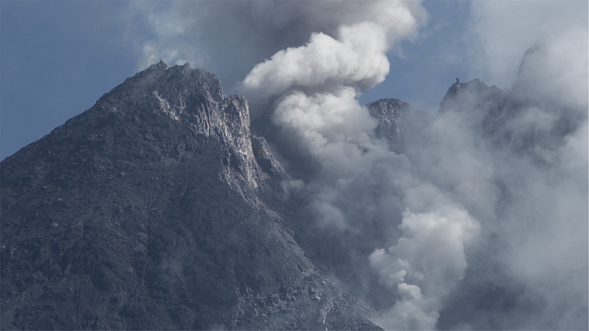
The flexibility of these platforms is a major advantage. This shift not only protects personnel but also enables monitoring at volcanoes where summits are physically unreachable on foot.
Measuring Carbon Isotopes at Poás Volcano
The ability to sample volcanic gas at high resolution has revealed new patterns in how volcanoes behave before they erupt. At the Poás volcano in Costa Rica, researchers have utilized drones to measure carbon isotopes in emitted carbon dioxide. As detailed by researchers in the field, these chemical fingerprints shift during different stages of activity. During eruptive phases, the carbon isotopes tend to slip toward lighter values, whereas quieter, sealed phases see the isotopic balance rise to heavier values.
This data is critical for forecasting. Volcanic eruptions cannot be predicted with 100 per cent certainty, but by stitching together current drone data with historical isotope records, scientists are beginning to identify repeating trends. This insight provides local authorities with better clues regarding the timing and severity of future activity, which can inform decisions on community evacuations.
The ABOVE Project and Global Carbon Cycles
Beyond local eruption forecasting, drone technology is transforming our understanding of the global carbon cycle. The ABOVE project, an international collaboration involving experts from the UK, USA, Canada, and several other nations, successfully deployed modified long-range drones to the Manam volcano in Papua New Guinea.
Combining these aerial measurements with satellite and ground-based sensors allowed the team to calculate the ratio between sulfur and carbon dioxide levels. This ratio is a primary indicator for volcanologists to determine the location and state of subsurface magma.
Structural Analysis at Mount Merapi
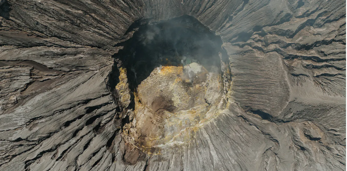
Drones are also being used to map structural weaknesses in volcanoes that could lead to catastrophic collapses. A study published in Scientific Reports utilized drones to monitor the lava dome of Mount Merapi in Indonesia over a 10-year period. By capturing more than 1,000 high-resolution images, researchers were able to extract 3D information to identify a horseshoe-shaped fracture system buried beneath younger lava. According to EOS, this hidden zone of fractures was instrumental in the collapse of the dome in 2019.
This method of long-term structural monitoring offers a new way to identify areas of weakness before they become hazardous. By combining drone imagery with mechanical rock strength testing, volcanologists can better understand the hydrothermal alteration processes that weaken dome structures, improving the accuracy of numerical models used to predict collapse events.
Technological Hurdles and Future Coordination
Despite the success of these missions, challenges remain. Researchers note that the global scientific community is still woefully unprepared
for large-scale volcanic disasters, often due to a lack of coordinated funding and governmental investment.
The road ahead involves refining these drone systems to be more robust and accessible. While commercial drones like the DJI Mavic 3 have been modified for volcanic gas sampling, the certification process for beyond-line-of-sight flights remains a hurdle for widespread adoption. Nevertheless, the recent success in Sicily, Papua New Guinea, and Costa Rica suggests that as sensor miniaturization continues, drones will become a standard tool in the global effort to mitigate the impact of volcanic eruptions on supply chains, climate, and human safety.
Find more reporting in our Science section.

University of Queensland Researchers Propose Omic Technologies to Develop Heat-Adapted Chickpeas
Researchers at the University of Queensland have proposed a staged approach using new omic technologies to accelerate the...

President Daniel Chapo Urges Global Action on Climate Justice
Mozambican President Daniel Chapo called for strengthened international climate justice measures at a Maputo conference on October 14.
CHIME Telescope Detects Early Universe Hydrogen Signal Independently
Using only its own data, the Canadian Hydrogen Intensity Mapping Experiment (CHIME) telescope in British Columbia detected a...
NASA’s Perseverance Rover Breaks Opportunity’s Mars Mileage Record
NASA’s Perseverance rover has set a new off-world driving record on Mars, surpassing the mileage of its predecessor...