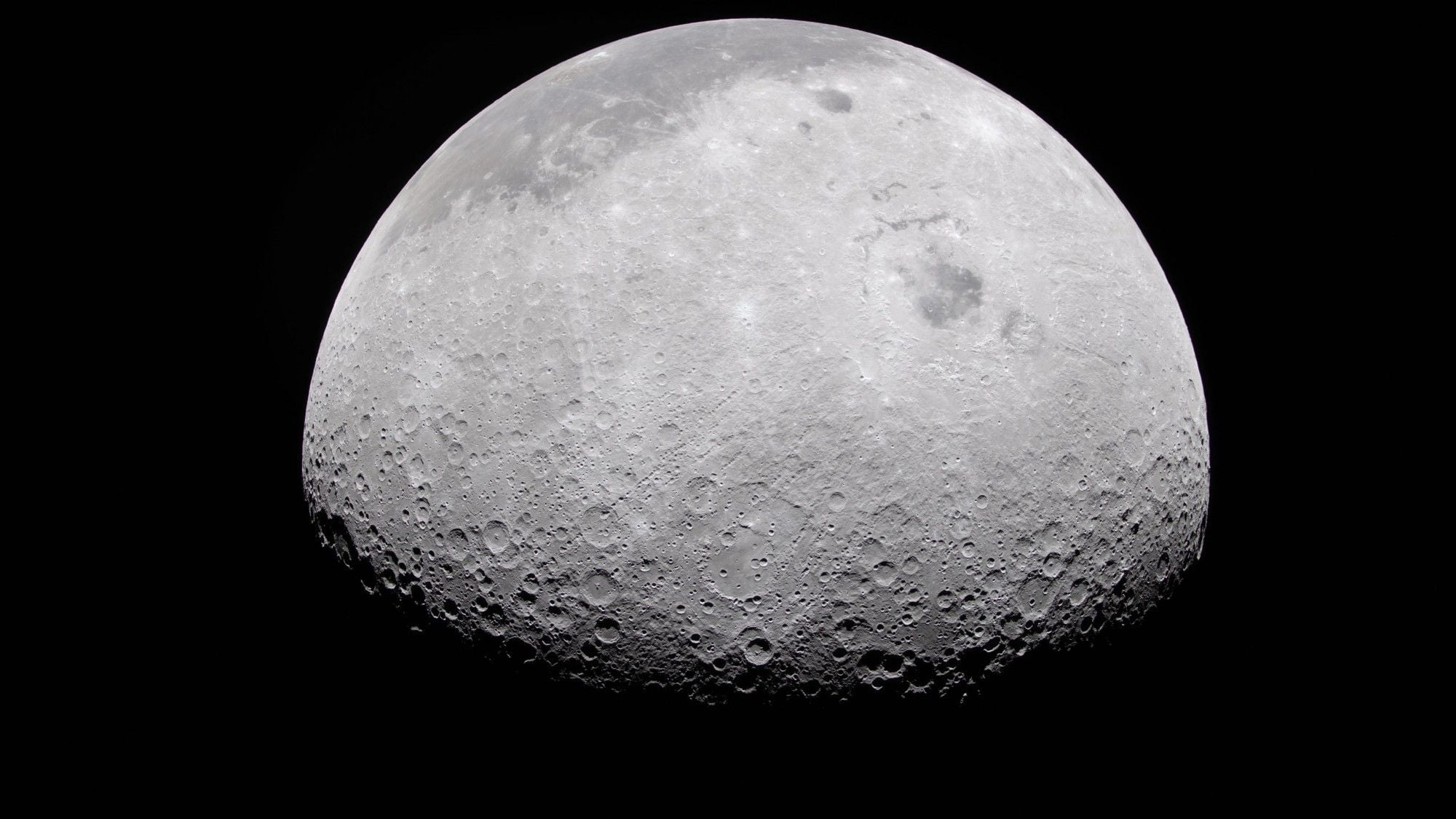
NASA and IBM released the NASA-IBM Lunar Foundation Model on Thursday, September 10. The open-source AI tool, hosted on Hugging Face and trained on 17 years of lunar data, helps scientists map craters, identify volcanic features, and locate potential water ice for future crewed missions.
Decades of lunar exploration have left space agencies with massive archives of information, but turning that raw data into actionable science requires immense manual effort. The project builds on previous geospatial and heliophysics collaborations between the agency and technology firm, bringing machine-learning speed to planetary science.
Training on Seventeen Years of Lunar Reconnaissance Orbiter Data
The newly launched model relies heavily on imagery and terrain information gathered by NASA’s Lunar Reconnaissance Orbiter. Over 17 years in space, the orbiter has collected a nearly complete mosaic of the Moon’s surface, with data volumes exceeding those of all other NASA planetary missions combined.
According to NASA Headquarters in Washington, the foundation model was trained on roughly two million image tiles. This dataset includes more than one million high-resolution camera images captured at a one-meter resolution, alongside nearly 964,000 multispectral images at a 100-meter resolution.
“NASA has spent decades building an extraordinary scientific record of the Moon, but collecting data is only part of the job.”
Murphy added that the agency must make its data easier for scientists to explore and use. The foundation model approach utilizes pre-trained algorithms on vast, unlabeled datasets, allowing researchers to fine-tune the system quickly for specific tasks without building new models from scratch.
Integrating Multi-Sensor Measurements Across International Missions
Beyond the Lunar Reconnaissance Orbiter, the AI model consolidates and harmonizes decades of data collected by United States and Japanese missions. Inputs include high-resolution imagery and terrain data from NASA’s Gravity Recovery and Interior Laboratory, the Lunar Prospector, and the Japan Aerospace Exploration Agency’s Selenological and Engineering Explorer.
To manage these disparate measurements, IBM and NASA utilized an architecture derived from TerraMind, an Earth-observation model originally developed by IBM and the European Space Agency. This multi-sensor framework allows the system to bridge different spatial scales, ranging from gravitational field maps measured at 20 kilometers per pixel down to centimeter-level boulder imaging.
Targeting Craters, Volcanism, and Polar Ice for Future Artemis Crews
NASA has initially prioritized three specific applications for the lunar model. First, it helps researchers map smaller, uncatalogued craters more efficiently than manual methods, providing essential data for dating the lunar surface and reconstructing solar system history. Second, it accelerates the identification of irregular mare patches—unusual volcanic structures that challenge established timelines of lunar cooling.
Finally, the model evaluates permanently shadowed regions near the lunar poles where water ice may be preserved. Locating these ice deposits is vital for NASA’s Artemis program, which plans to return astronauts to the Moon in 2028 to test technology for a sustained presence and eventual missions to Mars.
Performance Benchmarks and Open-Source Access
In benchmark evaluations, the model matched or exceeded baseline methods across all tested tasks. It achieved comparable results in crater mapping and mare patch segmentation while demonstrating a distinct advantage in estimating polar ice stability. Furthermore, the model identified key surface features up to 23% more accurately than widely used traditional approaches.

The open-source project is available for public use. Researchers can access the foundation model on Hugging Face, while the complete codebase has been published on GitHub to support ongoing testing and planetary research experimentation.
Related reading

Astronomers Release Unite Supernova Catalogue to Test Dark Energy Constant
Astronomers releasing a unified catalogue of 2,884 exploding stars have added fresh weight to signs that dark energy...

Kalimantan Forest Fires Caused by Human Activity, Not Coal Evaporation
Social media claims alleging Kalimantan forest fires are caused naturally by subterranean coal evaporation have been debunked by...

Deep Learning Transforms Biological Microscopy With Automated Cell Segmentation
Deep learning now underlies most of the routine tasks in a modern imaging pipeline, from finding individual cells...

NASA Mars Image Technique Uncovers Faded Rock Art on Earth
Originally engineered in 1978 for high-correlation remote sensing and satellite imagery, a NASA photo-processing method called decorrelation stretch...