
WEST MICHIGAN — Residents across West Michigan are wrapping up the weekend with a quiet weather pattern before a noticeable shift arrives midweek, FOX 17 reported. Sunday brings daytime highs in the mid-50s as skies gradually clear through the afternoon.
According to Weather Ready Forecaster Brianna Juneau, winds on Sunday are coming out of the southwest at 8 to 10 mph, with gusts reaching up to 20 mph. Conditions tonight will remain mostly clear to partly cloudy with overnight lows dropping into the mid to upper 30s, alongside northwest winds at 5 to 10 mph and gusts up to 18 mph.
Early Week Outlook
The region will experience mainly dry and mild conditions through Tuesday. Monday is forecasted to be mostly sunny to partly sunny with daytime highs climbing into the upper 50s. The mild trend continues into Tuesday, which will be mostly sunny with highs ranging from the upper 50s to the low 60s.
Rain Chances Return as Weather Turns Cooler
Changes are on the way starting Wednesday, bringing more unsettled weather and returning rain chances that could potentially stick around through the following weekend. Wednesday, which is Veteran’s Day, is expected to be partly sunny with a chance of showers and highs in the mid-50s.
The cooler and unsettled pattern persists into the end of the week. Thursday will be partly to mostly cloudy with a chance of showers and highs hovering around 50 degrees. Heading into the weekend, Friday and Saturday are both forecasted to be partly cloudy with daytime highs dropping into the mid to upper 40s.

Dover-Eyota defeats Caledonia to win section 1, Class 2a title
A Historic Ascent to the Section Title When Lauren Peck stepped onto the court as an eighth grader...

RoseMarie Dembowski of Simsbury and Marion dies at age 91
RoseMarie Dembowski, who spent her final years brightening life at a Marion healthcare facility where she earned the...
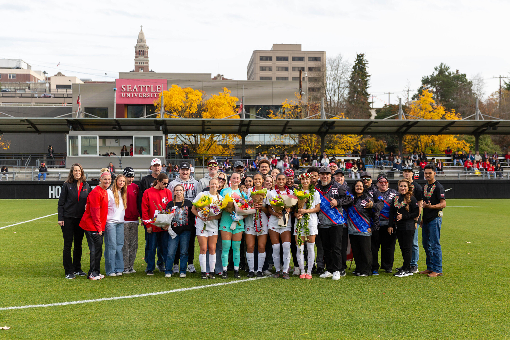
Seattle U Women’s Soccer Draws With Denver to End Regular Season
Redhawks Close Regular Season With 1-1 Draw Against Denver on Senior Day Seattle University women's soccer closed out...

Gavin Newsom moves to commute all 548 California death sentences
Governor Newsom Moves to Commute All 548 Death Sentences in California If my job is just to read...