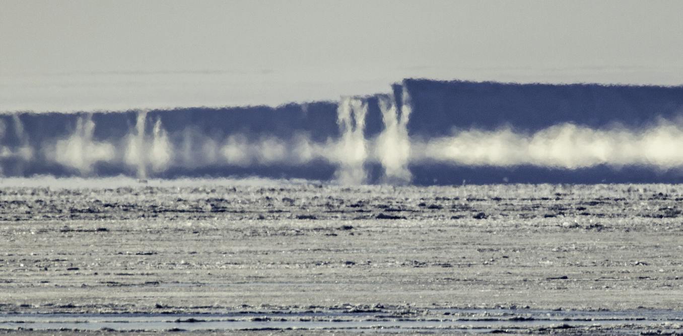
East Antarctica’s Wilkes Subglacial Basin contains enough ice to raise global sea levels by up to four meters, warning researchers from 14 countries who call for an urgent international campaign to map the remote region.
Published in Nature Reviews Earth & Environment, a major new global review synthesizes decades of findings from geology, oceanography, climatology, satellite observations, and ice-sheet modeling. Led by Professor Matt King from the University of Tasmania and the Australian Centre for Excellence in Antarctic Science (ACEAS), the review highlights a scientific blind spot in a region holding enough frozen water to reshape human civilization’s coastal maps.
Wilkes Subglacial Basin Threat
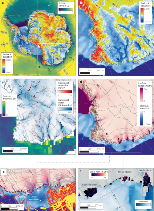
The Wilkes Subglacial Basin is a colossal depression measuring approximately 1,400 kilometers long by 400 kilometers wide, with much of its ice sheet resting on bedrock situated more than 2,000 meters below sea level.

The basin features a retrograde slope where the bedrock becomes progressively deeper as it moves away from the ocean toward the interior of the continent. Mathematical models cited in the assessments indicate that once marine ice retreats past critical stabilization points on this downward-sloping bed, the collapse can accelerate to speeds of roughly one kilometer per year.
Climate tipping points triggered this century would continue to unspool over thousands of years. The research contributes to delivering the Australian Antarctic Science Decadal Strategy 2025–2035. Off East Antarctica, ocean temperatures tend to hover around -1.8°C. More than one hundred years ago, Australian geologist Sir Douglas Mawson headed up a sledging journey spanning numerous kilometers of ice into an isolated region of East Antarctica. The party turned back after the tragic death of a party member, while fellow Australian Cecil Madigan led another group across sea ice into the region before also turning back.
Reaching the Cook Glacier
Professor King emphasized the extreme lack of on-site data during the release of the findings. No ship has ever managed to come within 150 kilometers of the front of key glaciers like the Cook Glacier.
There is no in-situ seabed mapping data of the ocean floor, and scientists possess very limited information regarding the oceanic conditions driving future melting. Aircraft using ice-penetrating radar have mapped the basin’s general shape and satellite observations have tracked environmental changes, such as East Antarctica’s first known fringing ice shelf collapse in the 1970s or 1980s. Satellites cannot pierce through thick ice or deep oceans to reveal the pathways warm water uses to reach the ice sheet.
Lessons From Past Warm Periods
During the Pliocene period three million years ago, global air temperatures were 2°C to 3°C warmer than pre-industrial levels, and seafloor sediments show that the Wilkes ice sheet shrank dramatically during that era, contributing to global sea levels that were 6 to 23 meters higher.
Researchers from 14 countries are calling for an international response. Monash University Professor Andrew Mackintosh noted that addressing these data gaps requires deploying at least two icebreakers, conducting multi-year airborne and land surveys, drilling through ice sheets to sample bedrock, and deploying advanced robotic sensors.
Australia is well-positioned to lead the initiative given that the basin lies largely within Australian Antarctic Territory, and experts stress that the financial and logistical demands—estimated in the tens of millions of dollars—must be shared globally among nations such as New Zealand, South Korea, France, and the United States. During the Pliocene period three million years ago, global air temperatures were 2°C to 3°C warmer than pre-industrial levels.
Saturn Reaches Opposition on October 4 for Brightest Viewing of Year
Saturn reaches opposition on Sunday, October 4, 2026, sitting at its closest point to Earth for the year...
NASA Advances PRIMA Telescope to Phase B for Far-Infrared Research
NASA selected the PRobe far-Infrared Mission for Astrophysics, or PRIMA, to advance to Phase B development.
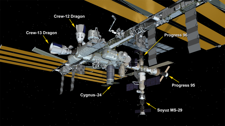
8-Hour SpaceX Flight Sets Speed Record for Crewed Spacecraft to ISS
Canadian Space Agency astronaut Joshua Kutryk and three crewmates reached the International Space Station on October 1, 2026,...
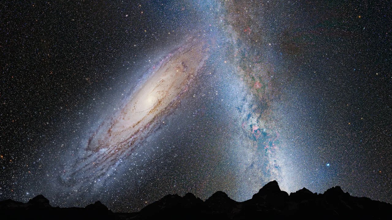
Milky Way Began as Thousands of Galaxies, New Simulations Suggest
Astronomers simulating the early universe revealed that the Milky Way neighborhood began as thousands of smaller galaxies, offering...